Mozambique · Since 2013
Bazaruto Seascape Marine Conservation
One of the most diverse marine habitats in Africa, where we work with park managers, rangers, and fishing communities to protect threatened sharks, rays, and dugongs.
For the last 20 years, MMF scientists have conducted research along the remote coastline of Inhambane Province in southern Mozambique.
Within the province, we are currently prioritizing work in a region we refer to as the Bazaruto Seascape, which spans the northern Inhambane coastline and encompasses the Bazaruto Archipelago, the San Sebastian Peninsula, and the coastal waters off Pomene.
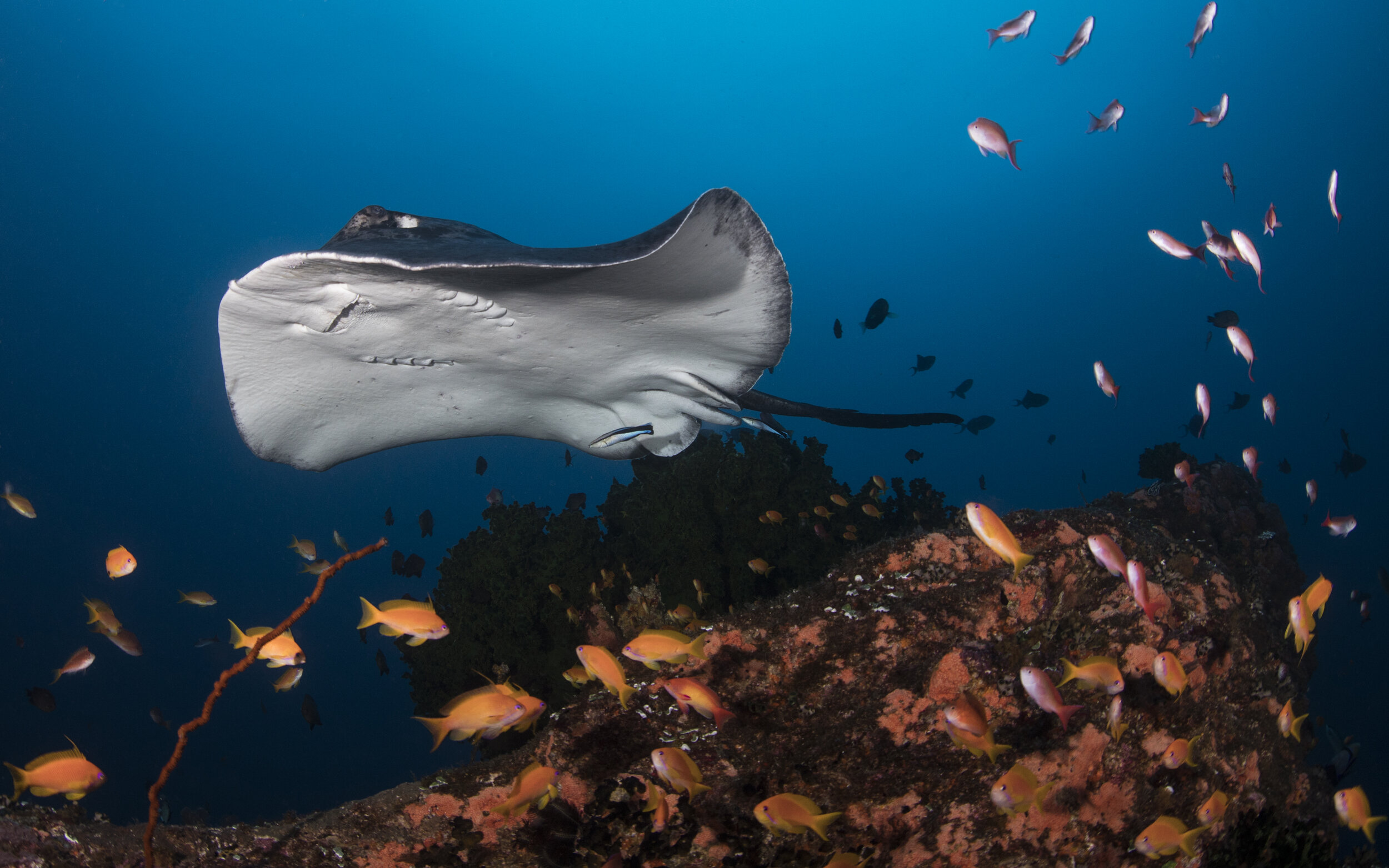
The seascape has been dubbed the “Marine Serengeti” of Africa by MMF co-founder Dr. Andrea Marshall, as its waters support an outstanding number of marine megafauna species, from manta rays to critically endangered rhino rays.
This coastline is recognized as one of the most diverse and important marine habitats in Africa. The open ocean teems with superpods of dolphins and jumping billfish, while inshore reefs are home to many rare and unusual species. Throughout the winter months, visiting humpback whales (Megaptera novaeangliae) can be seen breaching on the horizon.
Support our work in the Bazaruto Seascape
Donations to our Mozambique program fund the fieldwork, community work, and government engagement described on this page.
Our work in the Bazaruto Seascape
Bazaruto Archipelago National Park
A key part of this region lies within the Bazaruto Archipelago National Park (BANP), which was created in 1971 as one of Mozambique’s first Marine Protected Areas (MPAs). The park protects 1,430 km² (550 square miles) of biologically diverse land and sea around the Bazaruto Archipelago, off the coast of Vilanculos and Inhassoro in the north of the seascape. The park is mandated to protect species of high conservation value, including dugongs (Dugong dugon), sharks, dolphins, marine turtles, and corals.
The archipelago consists of five islands (Bazaruto, Benguéra, Magaruque, Santa Carolina, and Bangué) that were formed from the present-day San Sebastian Peninsula. Together they bound a wide range of marine habitats, including coral and rocky reefs, extensive sand flats, mangroves, and seagrass meadows, which provide refuge for a large and diverse array of species.
The BANP is managed by African Parks and overseen by the Administração Nacional das Áreas de Conservação (ANAC). The park supports a population of approximately 5,800 people, 80% of whom rely on harvesting marine resources as their primary livelihood.
Vilanculos Coastal Wildlife Sanctuary
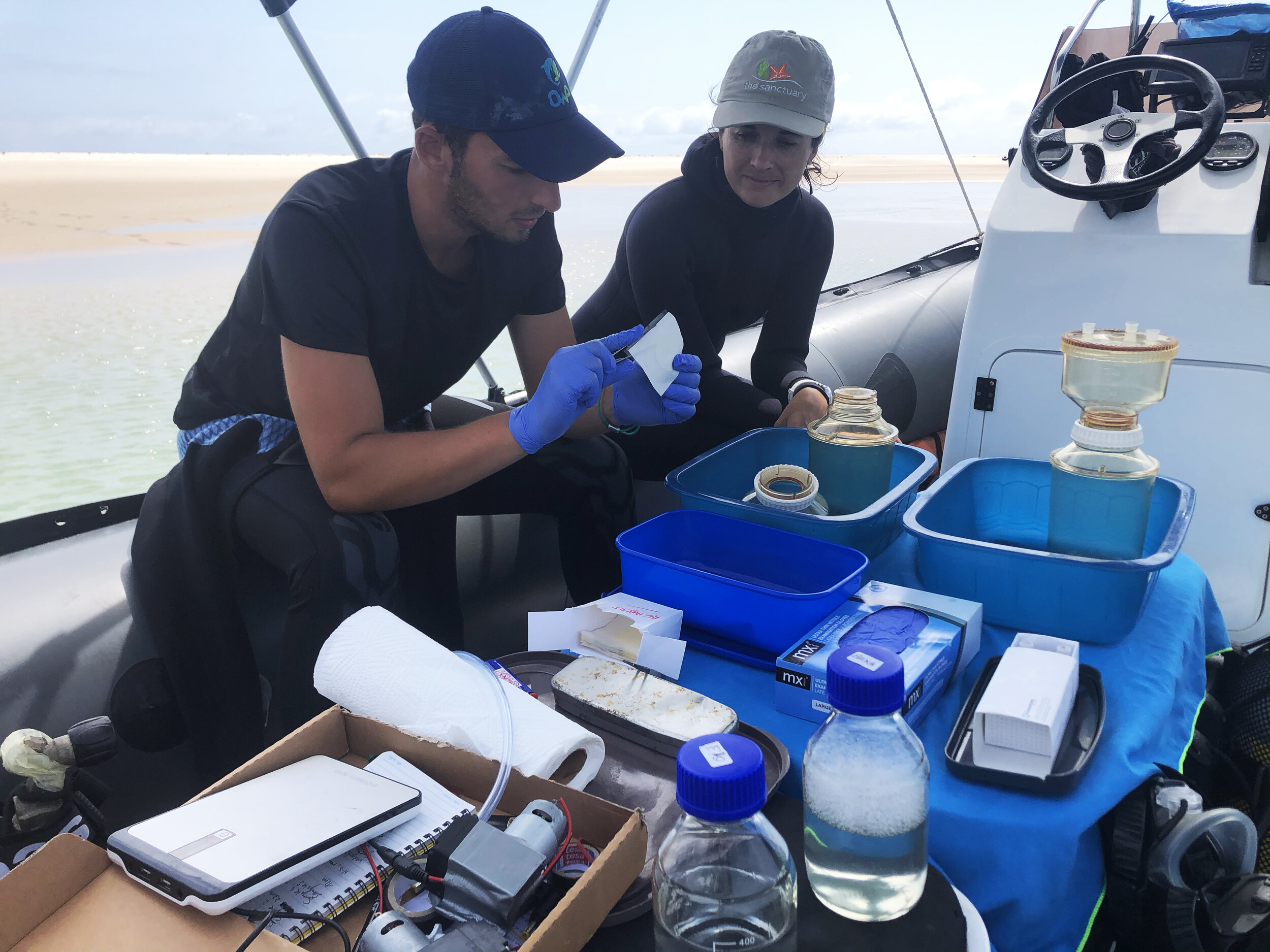
To the south of the BANP lies the Vilanculos Coastal Wildlife Sanctuary (Santuário Bravio de Vilanculos, SBV), a privately managed conservation area that protects terrestrial and marine habitat on and around the San Sebastian Peninsula. The Sanctuary has been MMF’s partner in shark and ray conservation in the seascape since 2020.
Our science in the seascape
MMF scientists have worked to understand and protect the megafauna of the Bazaruto Seascape since 2013, and Dr. Clare Prebble leads the program today. Building on our ongoing work in the south of Inhambane Province, we work closely with the managers and rangers of the seascape’s protected areas, providing scientific advice that informs conservation strategies for the many threatened species in these waters. The region is a particular focus of our Threatened Species Program and serves as a hub for many of our current field research projects in Mozambique, from the shark and ray census to the smalleye stingray and rhino ray tracking studies.
In 2023, MMF’s long-term sightings, aerial survey, and tagging data helped secure the recognition of two IUCN Important Shark and Ray Areas (habitats recognized internationally as important for sharks and rays) covering the Sanctuary and the national park.
From data to protection
Understanding a seascape this large requires continuous monitoring. MMF and our partners maintain acoustic receivers across the Bazaruto Seascape, underwater listening stations that detect tagged animals swimming within range. The wider network runs roughly 400 km (250 miles) along the southern Mozambican coast, from Závora to the northern end of Bazaruto Island.
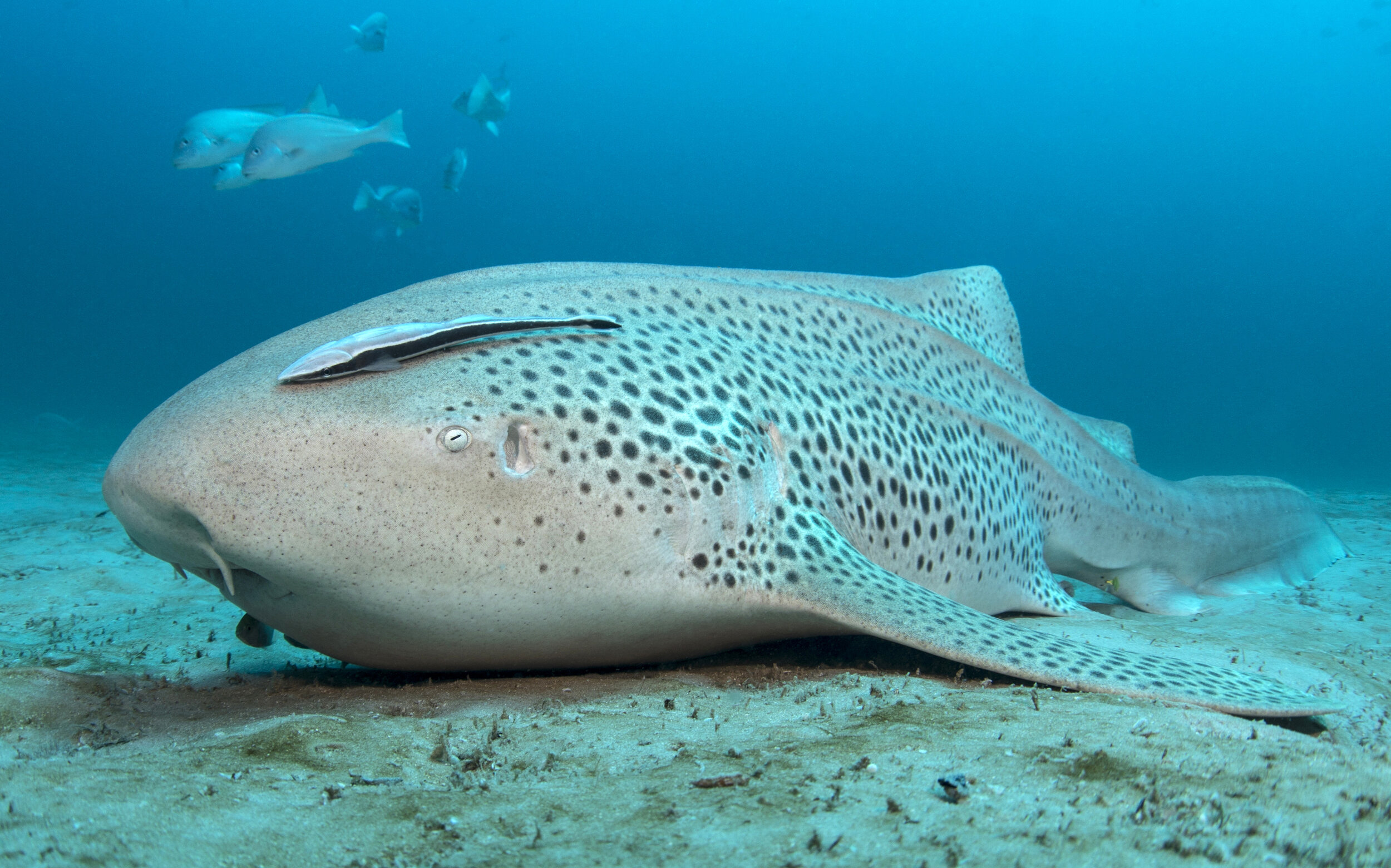
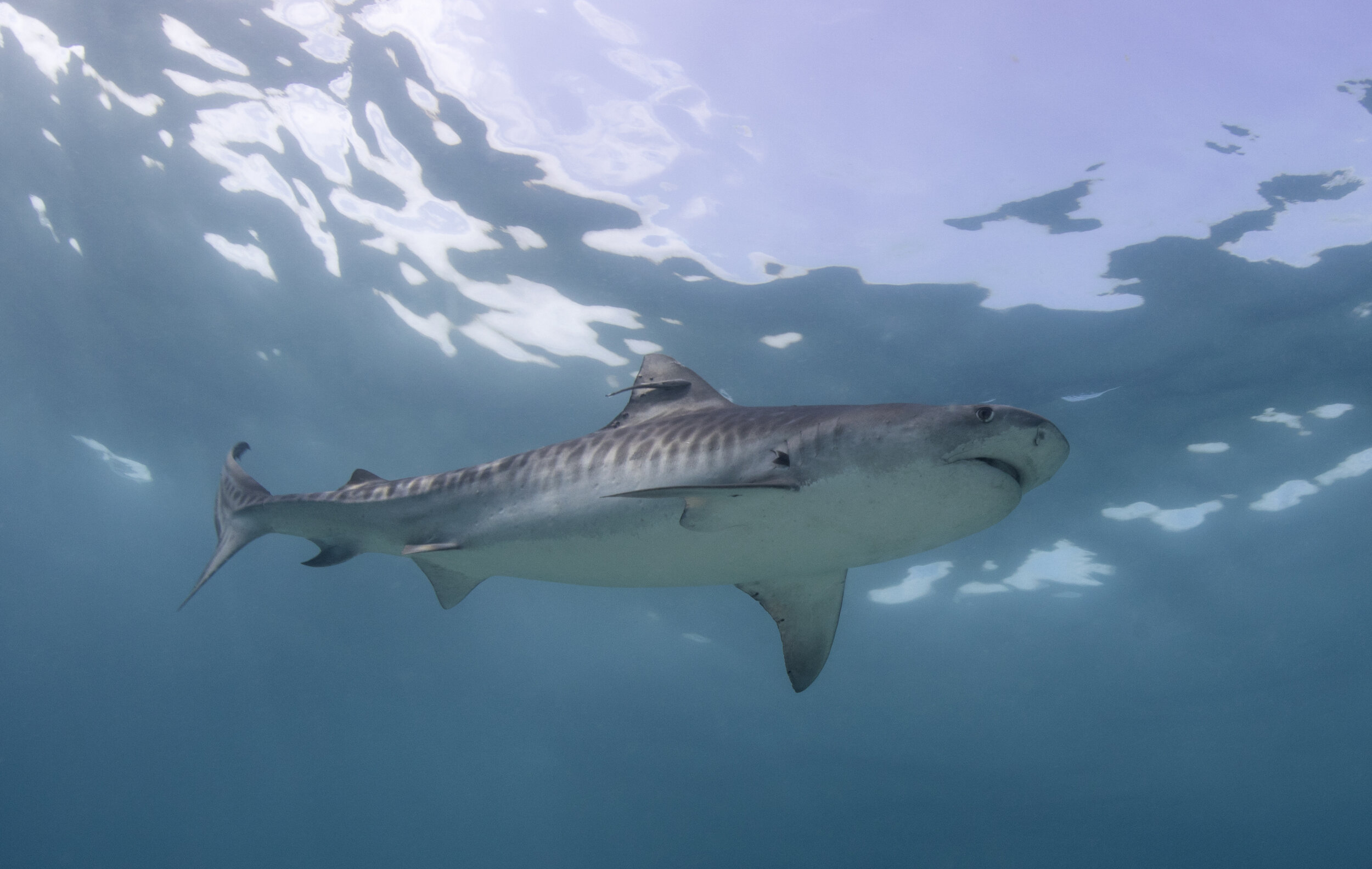
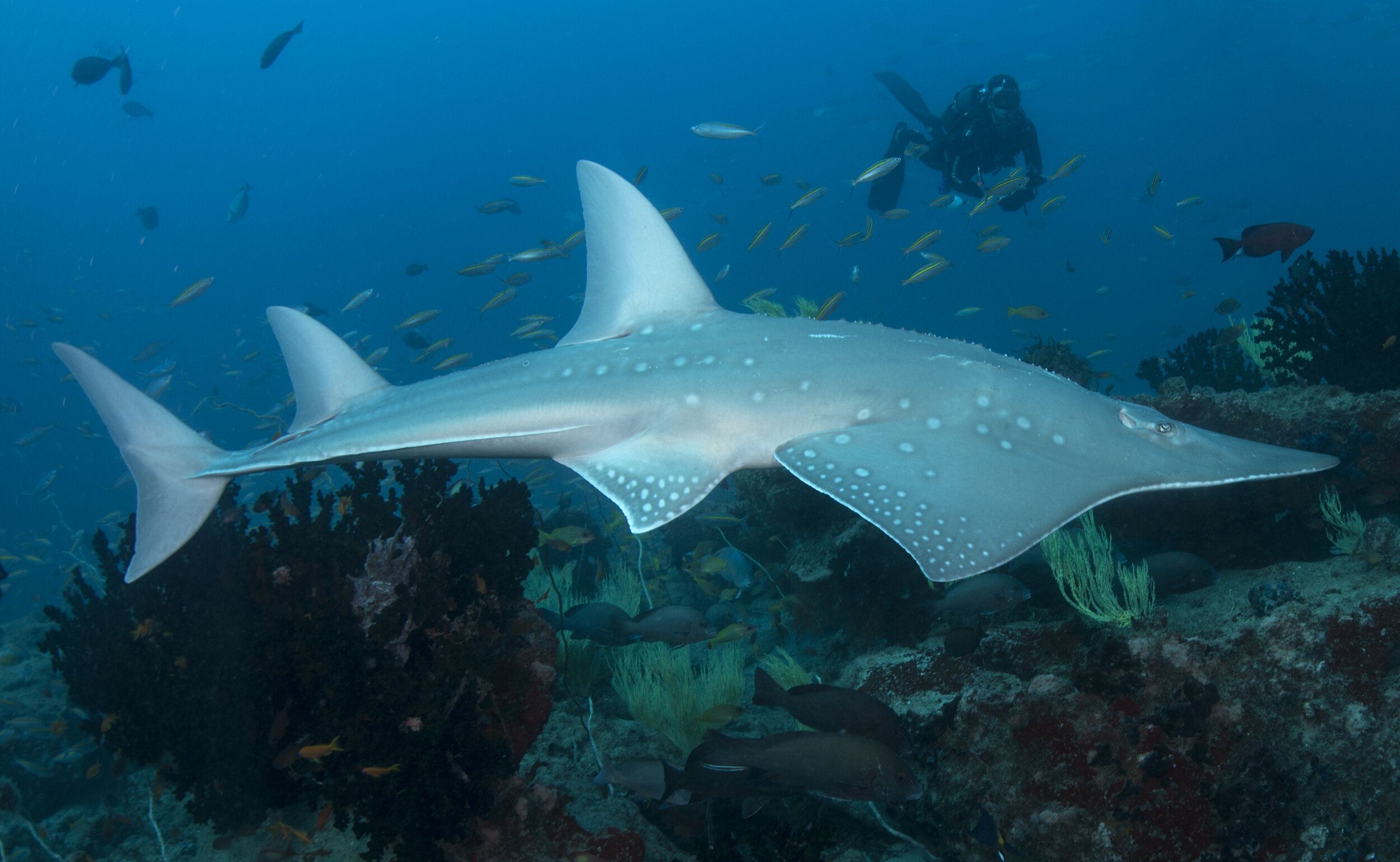
Over the past several years, the network has logged hundreds of thousands of detections of bull sharks, wedgefish, bowmouth guitarfish, leopard sharks, smalleye stingrays, and manta rays, documenting the habitat use, seasonal movements, and connectivity of each species across the seascape. Individual wedgefish tagged in the south of the seascape, for instance, have since been detected inside Bazaruto Archipelago National Park. For adult bull sharks (Carcharhinus leucas), a 2026 study led by MMF’s Dr. Stephanie Venables found high residency and year-round presence among sharks tagged around Bazaruto. About 82% of their core habitat, the areas they used most intensively, overlapped existing marine protected areas, although important habitat also extended beyond those boundaries.
That evidence has a direct purpose: it defines what needs protection, and where. Working with Santuário Bravio de Vilanculos and the local community fishing council, we are using it to establish a protected no-netting area around critical habitat for critically endangered rhino rays. The area is supported by patrol boats, trained rangers, and a ranger camp, completed in 2024, that now serves as a base for MMF field officers. Rangers and community fishing council members also run a catch-monitoring program that records landings along this coast, and since late 2025, local fishers have been training in selective handline fishing as an alternative to netting.
Dugongs and seagrass north of the park
The Bazaruto Seascape holds the last viable dugong population in the western Indian Ocean. However, much of the seagrass on which these dugongs depend lies outside the national park’s boundary, along the unprotected coastline running north toward Inhassoro.
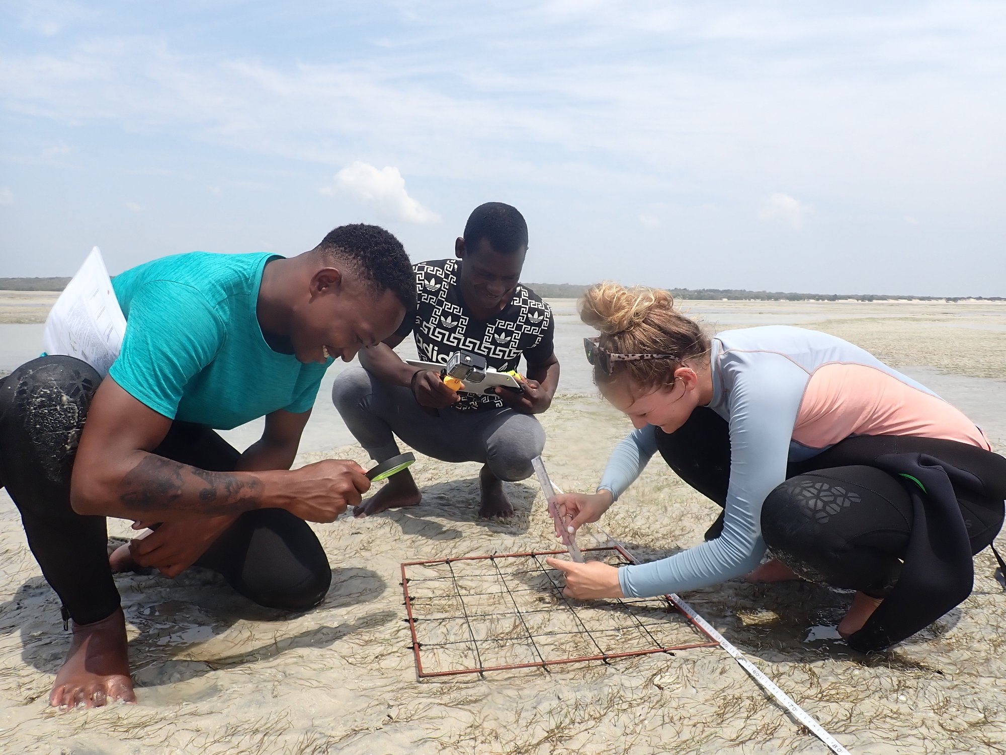
Between 2022 and 2026, MMF ran a community-based conservation program along that coastline, working with Bazaruto Archipelago National Park and African Parks. Combining satellite imagery with field surveys, the program produced the first detailed maps of seagrass distribution across 92 km² (36 square miles) of unprotected coast. It also brought Inhassoro into the global Seagrass-Watch monitoring network through quarterly surveys, and used baited remote underwater video and drone surveys, run with trained community operators, to document the megafauna using these meadows. Community-led monitoring recorded 45 dugong sightings over the course of the project, confirming that the animals remain present in these unprotected waters.
Community-led protection
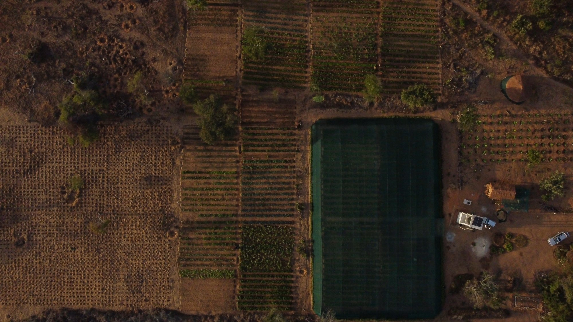
Two communities went on to propose their own locally managed marine areas in critical dugong habitat, both of which are now progressing through the government process. In parallel, 30 fishing families joined a cooperative farm that supplies local lodges and businesses. The move reduced fishing effort in priority conservation areas by at least 3,000 fishing days, while providing an income that does not depend on the reef.
During this period, the Eastern Africa dugong subpopulation was formally assessed as Critically Endangered on the IUCN Red List, in an assessment led by our partners at the national park. That assessment makes the case for extending protection north of the park’s current boundary more urgent, and the evidence base for doing so now exists.
MMF Project Team
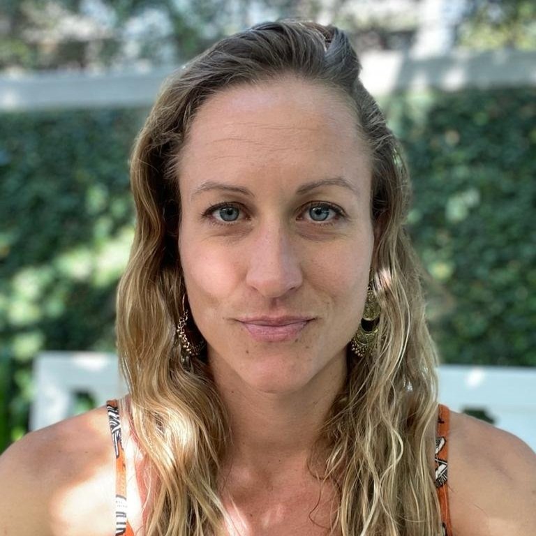 Dr. Clare Prebble
 Nilza de Catarina
 Dr. Stephanie Venables
 Dr. Nakia Cullain
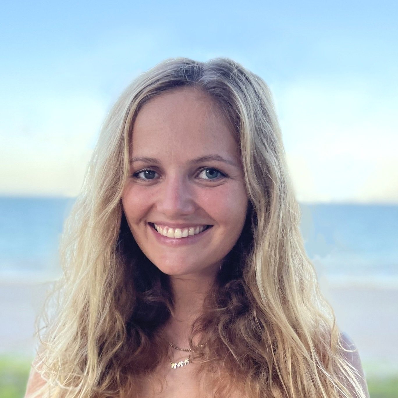 Olivia Patterson
Collaborators and Partners

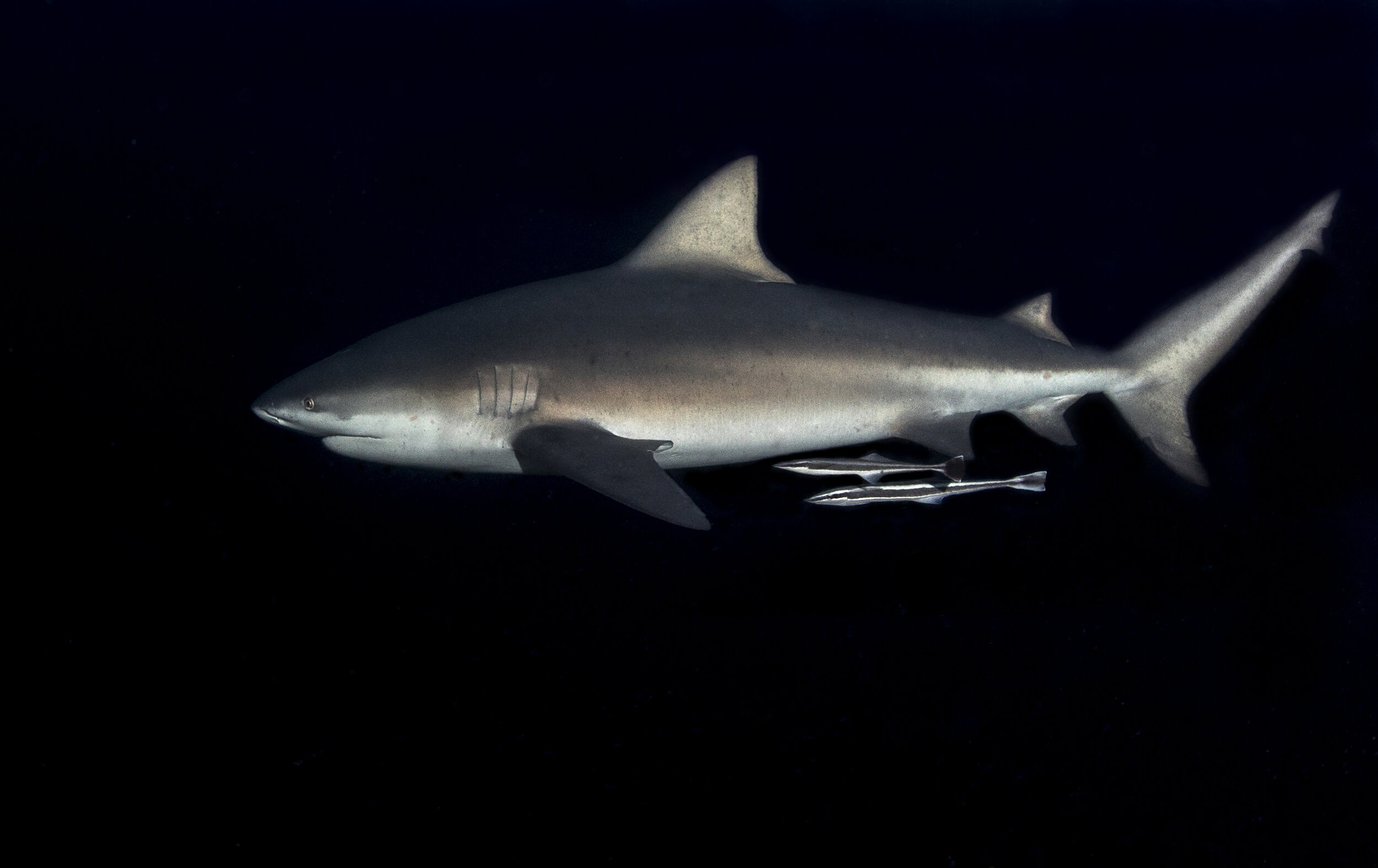 Mozambique Bull Shark Research Project
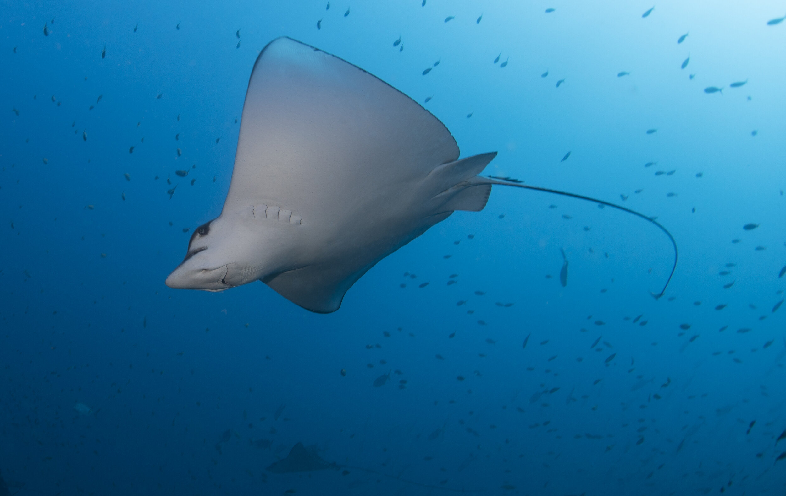 Mozambique Elasmobranch Diversity Research Project
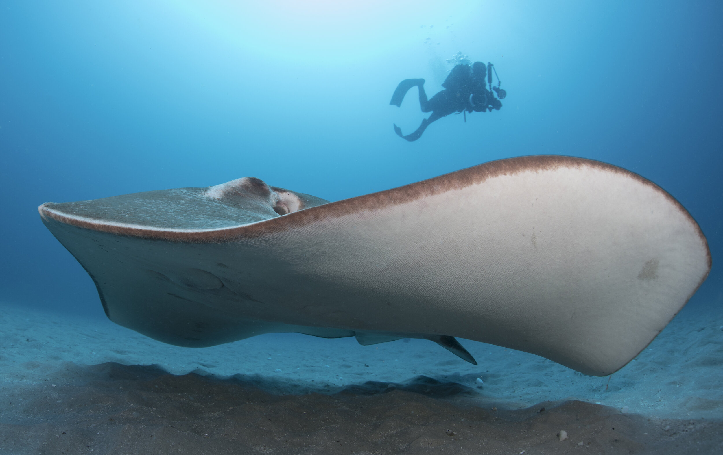 Mozambique Smalleye Stingray Research Project