
New Study · Florida Manta Project
Nesting season puts Florida's sea turtles in the path of boats
Boat strikes injure and kill sea turtles along Florida’s Atlantic coast, particularly in the state’s southeast. Drawing on 19 months of aerial surveys flown by MMF, a new study maps where and when turtles and boats overlap, and identifies where seasonal slow-speed zones could reduce the risk of collisions.
Turtles and boats use the same waters
Florida’s Atlantic coast is an important nesting and feeding area for sea turtles, and the coast covered by this study includes some of the world’s highest-density nesting beaches for loggerhead turtles (Caretta caretta). Loggerheads and green turtles (Chelonia mydas) made up 87% and 11% of the nests recorded in the region in 2024, according to the Florida Fish and Wildlife Conservation Commission’s nesting surveys (opens in a new tab), and leatherback turtles (Dermochelys coriacea) also nest there.
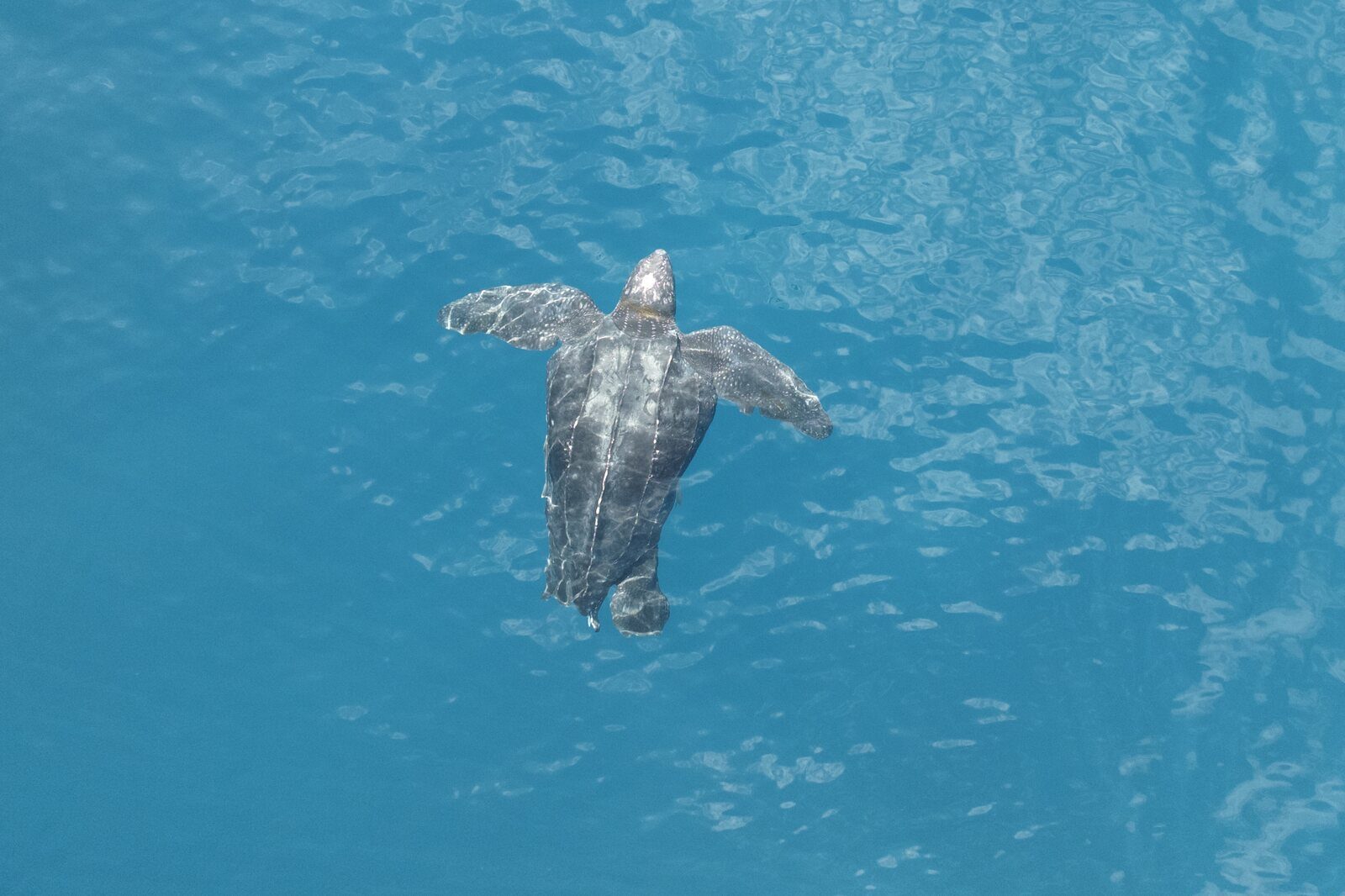
A leatherback turtle at the surface off Florida.
The same waters are heavily used by recreational boats. Southeast Florida has the state’s highest reported incidence of turtles stranded with vessel-strike injuries. Earlier work had already identified concentrations of these strandings at all seven of the coast’s inlets, the channels boats use to pass between inland waterways and the ocean. Turtles must surface to breathe, and they become more vulnerable to collisions as boat speed increases, or where the water is too shallow for them to dive clear of a hull.
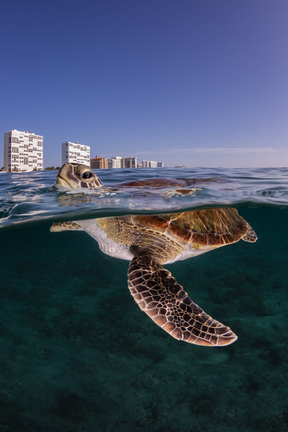
A green turtle at the surface off Florida, with condominium towers on the shore.
Most earlier research relied on stranding records, reports of injured or dead turtles found on the shore, which give limited information on where collisions actually occurred. Other studies used ship-tracking data, which underrepresent small recreational boats. As a result, it has been difficult to identify where and when protective measures such as slow-speed zones would do the most good.





Adopt a sea turtle
Five of the world's seven sea turtle species are at risk of extinction. MMF scientists study turtles from Indonesia to Florida.
Counting turtles and boats from the air
Gregoire Michel of Florida State University led the study, with Jessica Pate, MMF’s US Country Manager and Senior Scientist, and Dr. Mariana Fuentes (opens in a new tab) of Florida State University as co-authors. It has been published in Conservation Science and Practice (opens in a new tab).
The data came from aerial surveys that MMF’s Florida Manta Project flew twice a month between May 2023 and November 2024. The flights were designed to count manta rays, but the observers also recorded sea turtles and motorized boats along about 79 miles (127 kilometers) of coast in Martin, Palm Beach, and Broward counties. Flying a small single-engine plane at about 500 feet (150 meters), the team surveyed one line along the shoreline and a second 1 mile (1.6 kilometers) offshore.
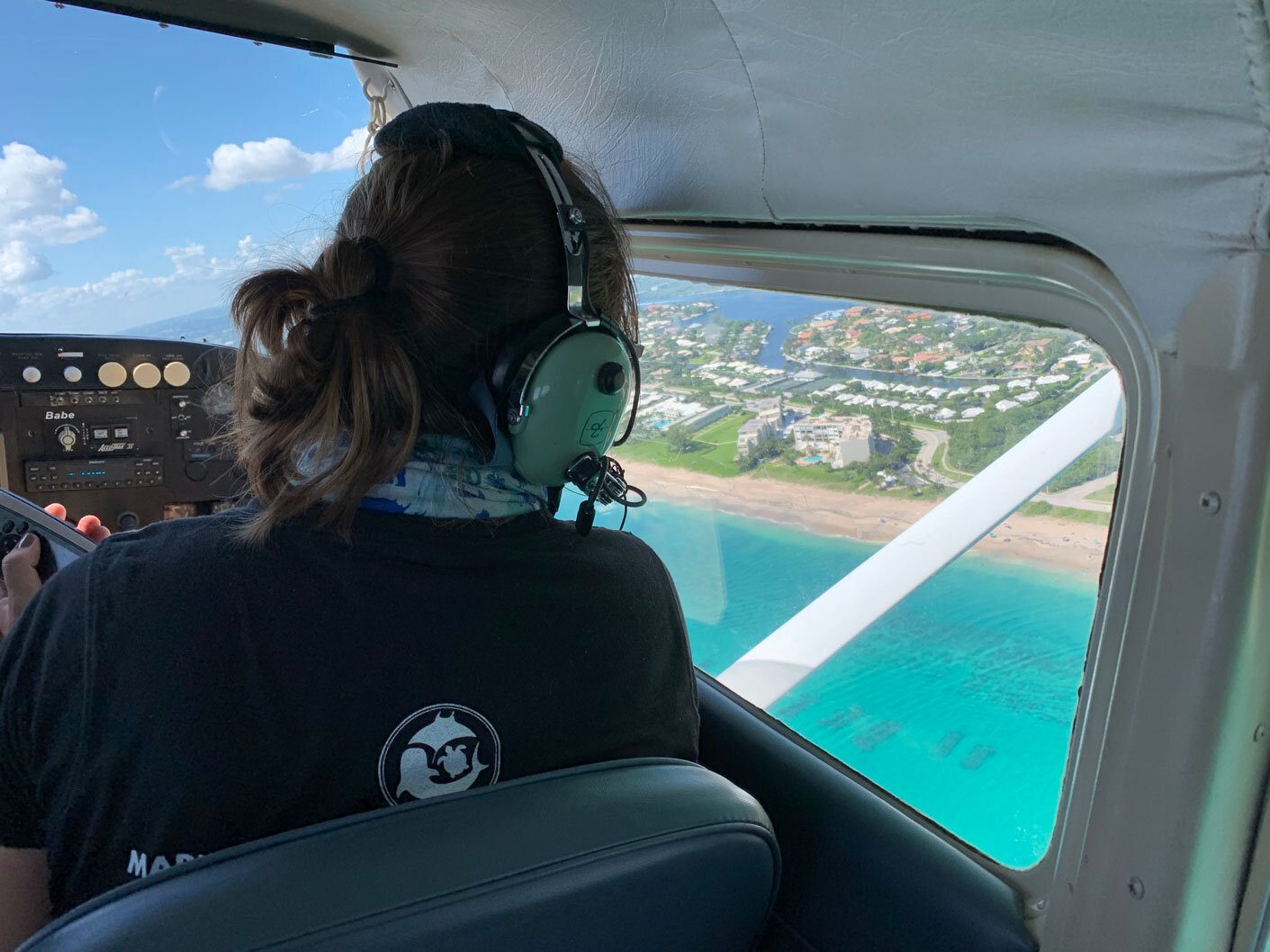
Jessica Pate during an aerial survey off Florida, 2024. Photo: Tiffany Baron.
Across 33 surveys, the team recorded 3,271 turtles and 2,407 boats. The authors compared these observations with the 174 turtles reported stranded with vessel-strike injuries in the same area over the same period: 145 green turtles and 29 loggerheads. These records came from the Sea Turtle Stranding and Salvage Network (opens in a new tab), whose federal, state, and permitted partners and volunteers document stranded turtles.
Get news like this in your inbox
Field news, new science, and ways to help, a couple of times a month.
Nearly nine times more turtles in the nesting season
Boat counts were similar between seasons. Turtle counts were not: the team recorded an average of 191 turtles per survey during the nesting season, which the study defines as May to August, compared with 22 outside it. Nesting females rest in coastal waters between nesting events, and turtles also mate at the surface. Jessica’s observations from the air suggest that in the study area green turtles aggregate near the surface to court and mate more often than loggerheads do, which may increase their exposure to boats.
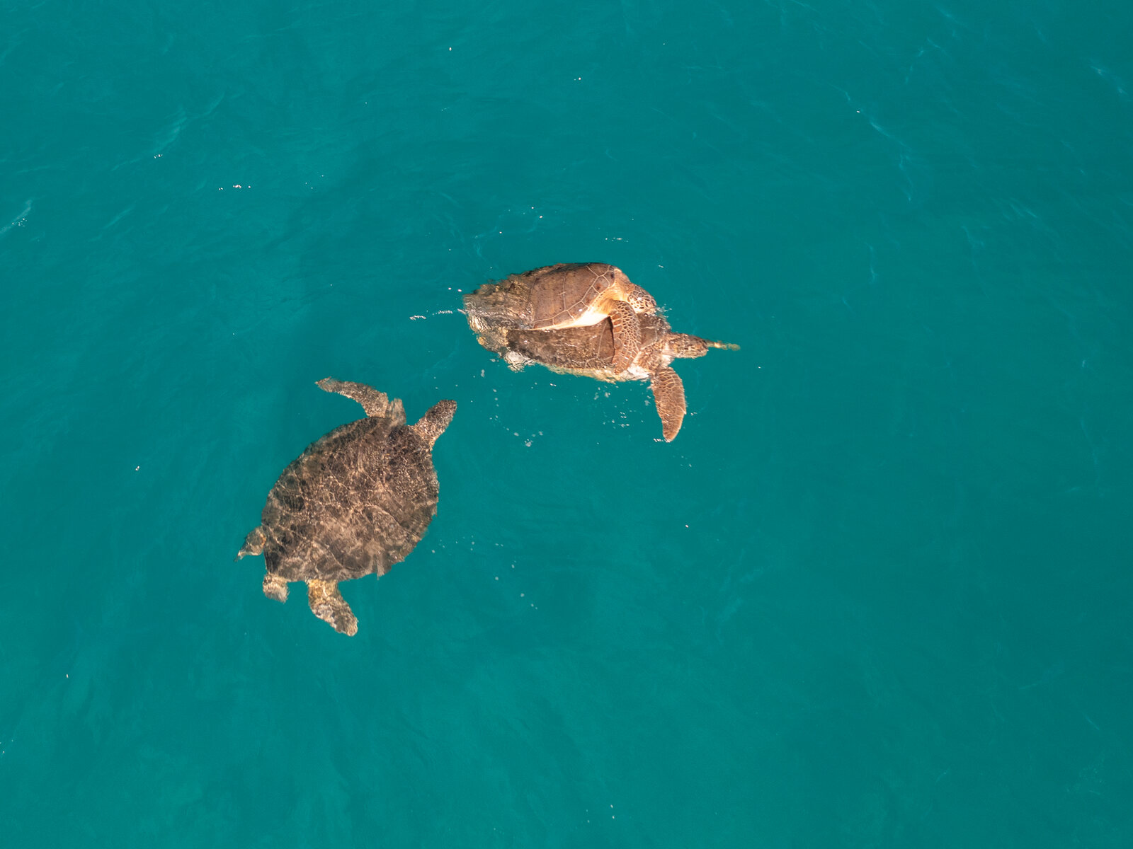
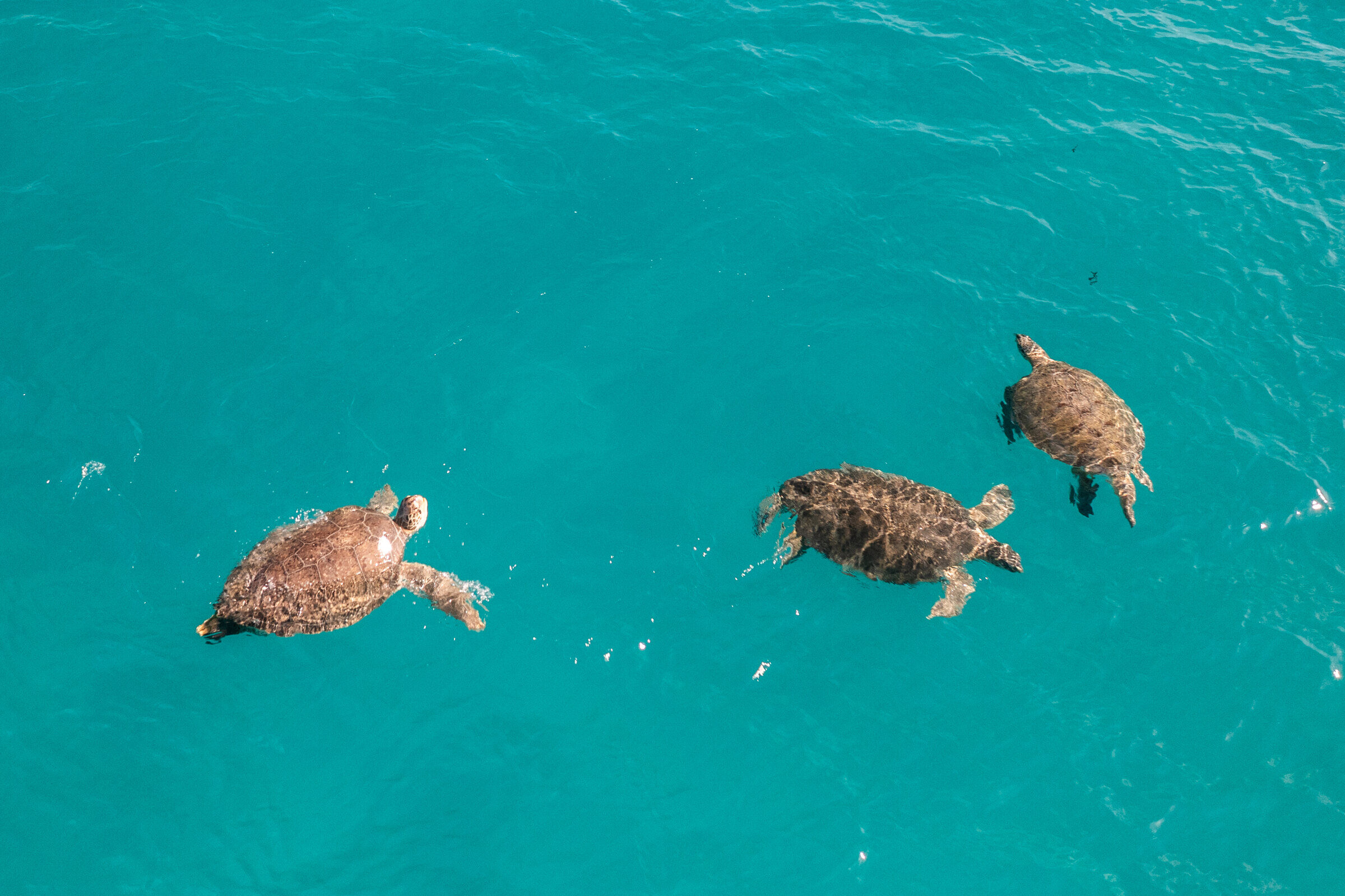
Green turtles mating at the surface off Florida.
As a result, the waters where turtles were most exposed to boats were concentrated in the nesting season and in the north of the study area. Across the whole study period, 8% of the study area was classed as high exposure, where both turtle and boat counts fell in their highest quarter. These areas lay opposite major nesting beaches at Tequesta, Jupiter, Juno, and Palm Beach Island. Outside the nesting season, no part of the coast met that threshold.
The stranding records followed a similar pattern. Most strandings with vessel-strike injuries (59%) were reported during the nesting season. Nearly a third (31%) came from areas near St. Lucie Inlet and Jupiter Inlet, where heavy boat traffic passes close to waters with many turtles. Florida recorded about 61,000 green turtle nests in 2023, compared with 11,000 in 2024, and nesting-season vessel-strike strandings in the study area numbered 69 and 34 in those two years.
Travel with our scientists
Every MMF expedition is hosted by a working marine scientist, who shares the latest research and conservation discoveries about the animals you'll see.
Seasonal slow-speed zones needed near the St. Lucie and Jupiter inlets
Some protection already exists. A voluntary Sea Turtle Protection Zone covers Palm Beach County’s coastal waters from the shoreline to 1 mile (1.6 kilometers) offshore, between Jupiter Inlet and Boca Raton Inlet. From March to October, boaters there are asked to reduce speed, avoid unnecessary travel through the area, and watch for turtles at the surface.
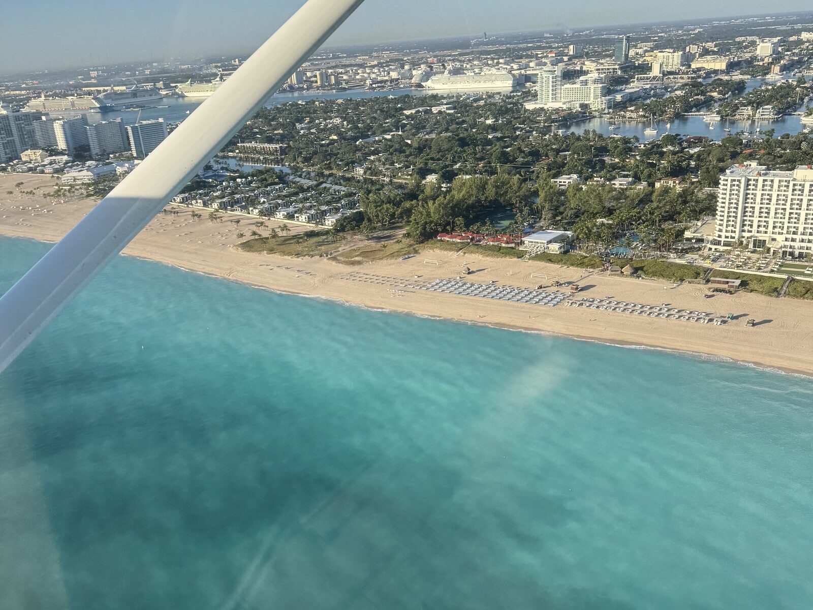
The south Florida coast from an MMF survey plane.
Speed matters: evidence cited in the paper shows that fast speeds can be catastrophic for turtles. The authors identify the coast from Hobe Sound in southern Martin County to the northern end of Juno Beach as an area that would benefit from similar voluntary protection. They also suggest seasonal slow-speed zones in high-risk waters close to shore, particularly near the St. Lucie and Jupiter inlets. Focusing these measures on the nesting season could protect breeding adults, whose loss can slow a population’s recovery.
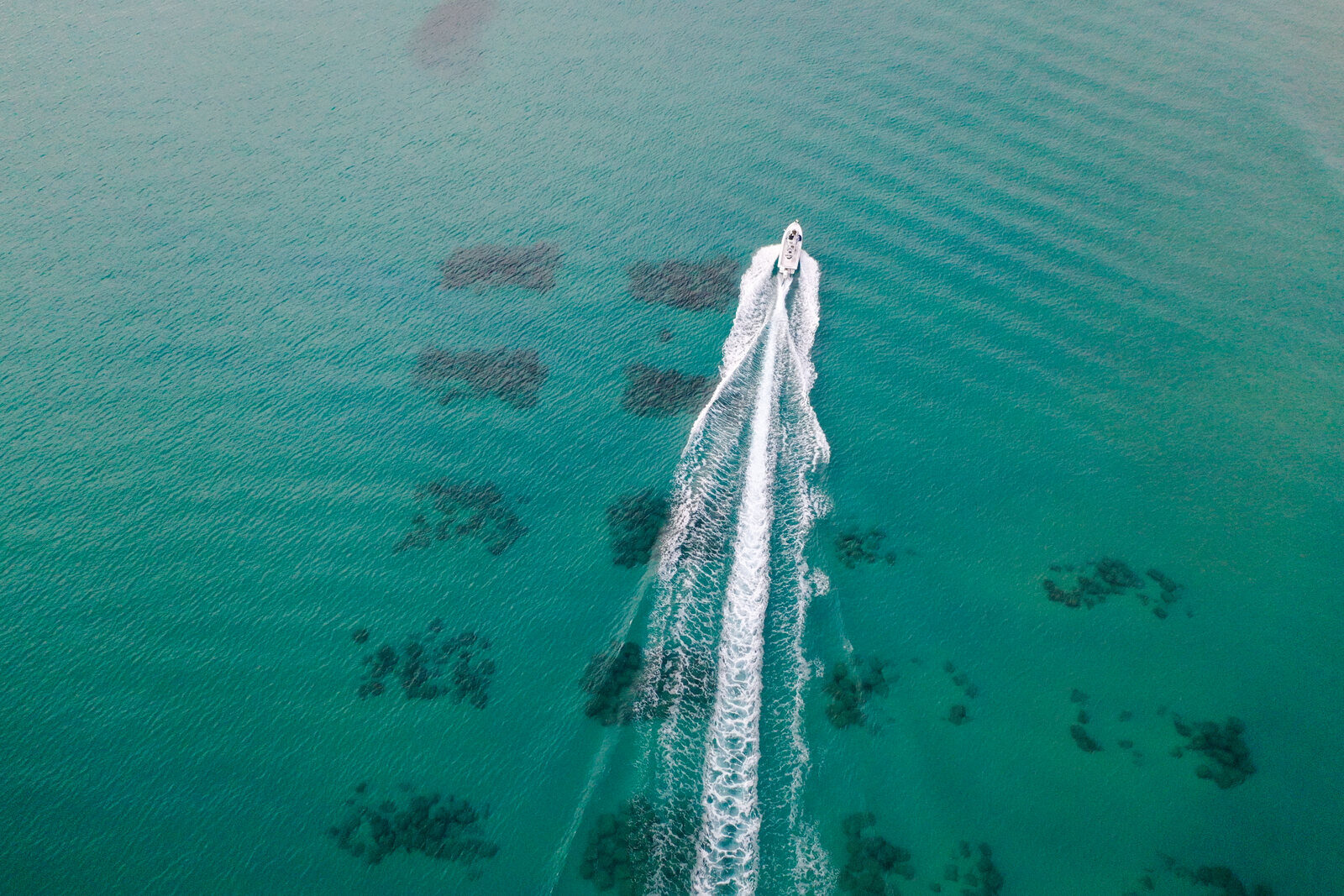
A boat running fast over a reef off Florida.
The authors emphasize that voluntary measures depend on boaters understanding why they are asked to slow down, and that expanding protection will require collaboration among counties, researchers, and conservation organizations. As next steps, they recommend measuring boat speeds in high-risk areas and how closely boaters follow speed recommendations.
Why this work matters
Most of what was known about boat strikes on Florida’s sea turtles came from injured and dead animals found on the shore. Our aerial surveys show the living turtles instead: where they gather, in which months, and how close the boats come. Flights designed to count manta rays have produced a map that county managers can act on, pointing to the coast from Hobe Sound to Juno Beach, and the waters around the St. Lucie and Jupiter inlets, from May to August. Many of the turtles in those waters at that time are breeding adults, whose survival matters most for a population’s recovery.
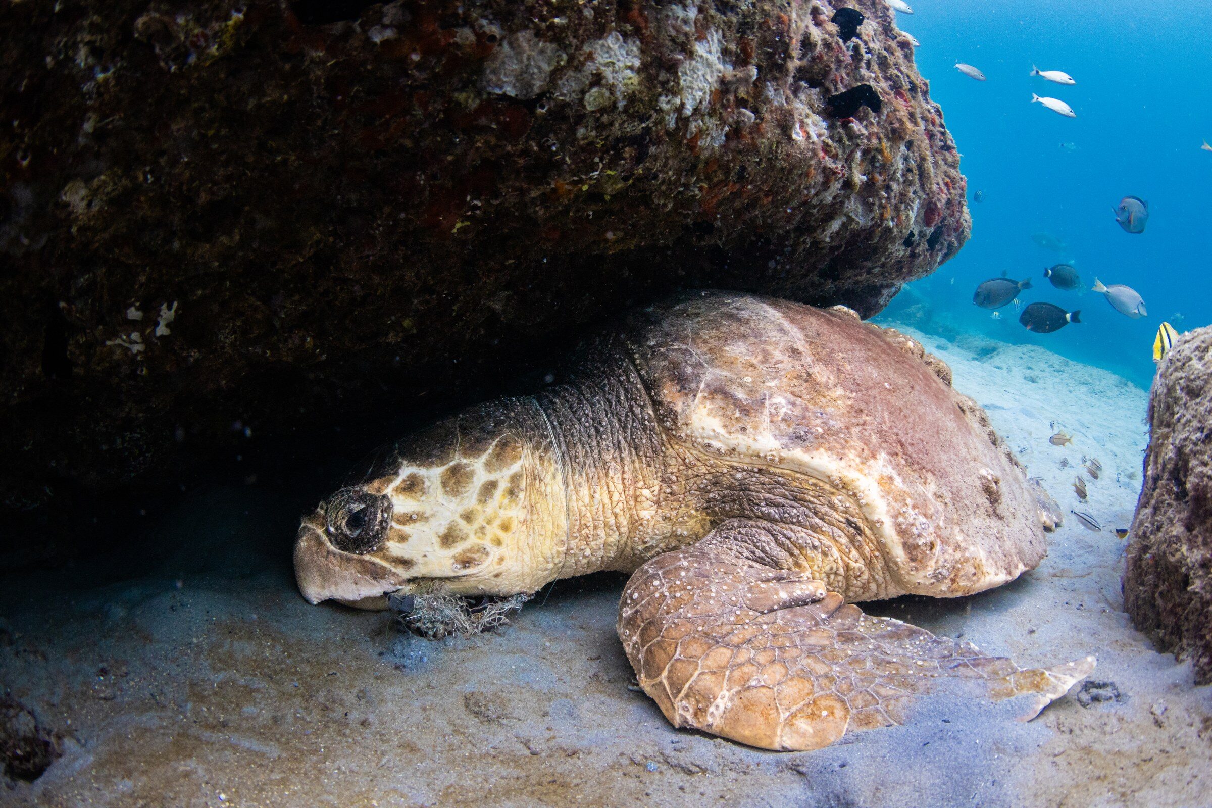
A loggerhead turtle resting under a reef ledge off Florida.
This work was supported by the Kansas City Zoo & Aquarium and the Disney Conservation Fund. To learn more, visit the Florida Manta Project page and support this conservation work (opens in a new tab).
Support research like this
Gifts from supporters fund MMF's research on the ocean's giants, from new studies like this one to the fieldwork behind them.
Related projects
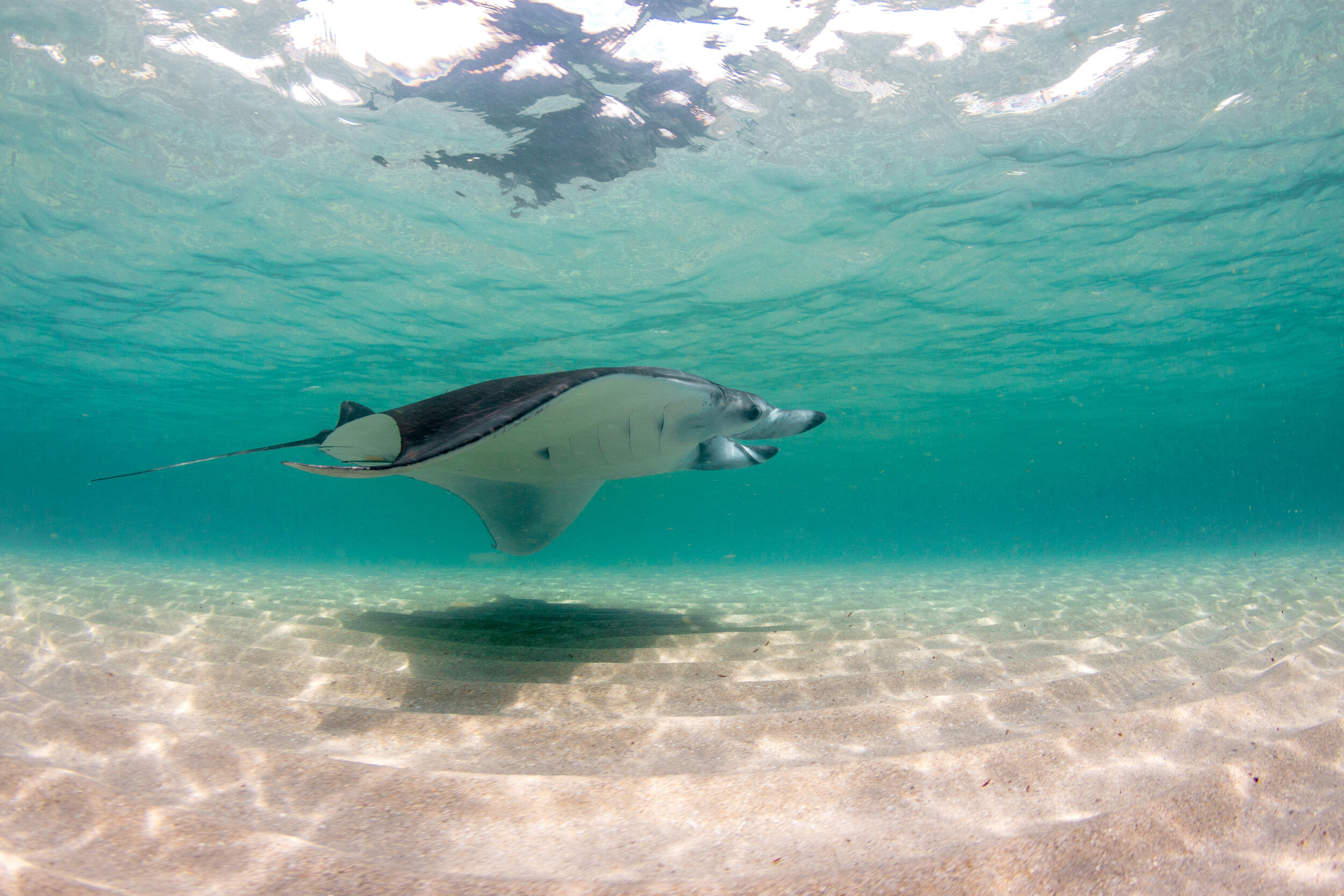 USAFlorida Manta ProjectWe have studied Florida's manta rays since 2016, from a rare urban nursery for young rays in south Florida to a spring aggregation of adults off central Florida.
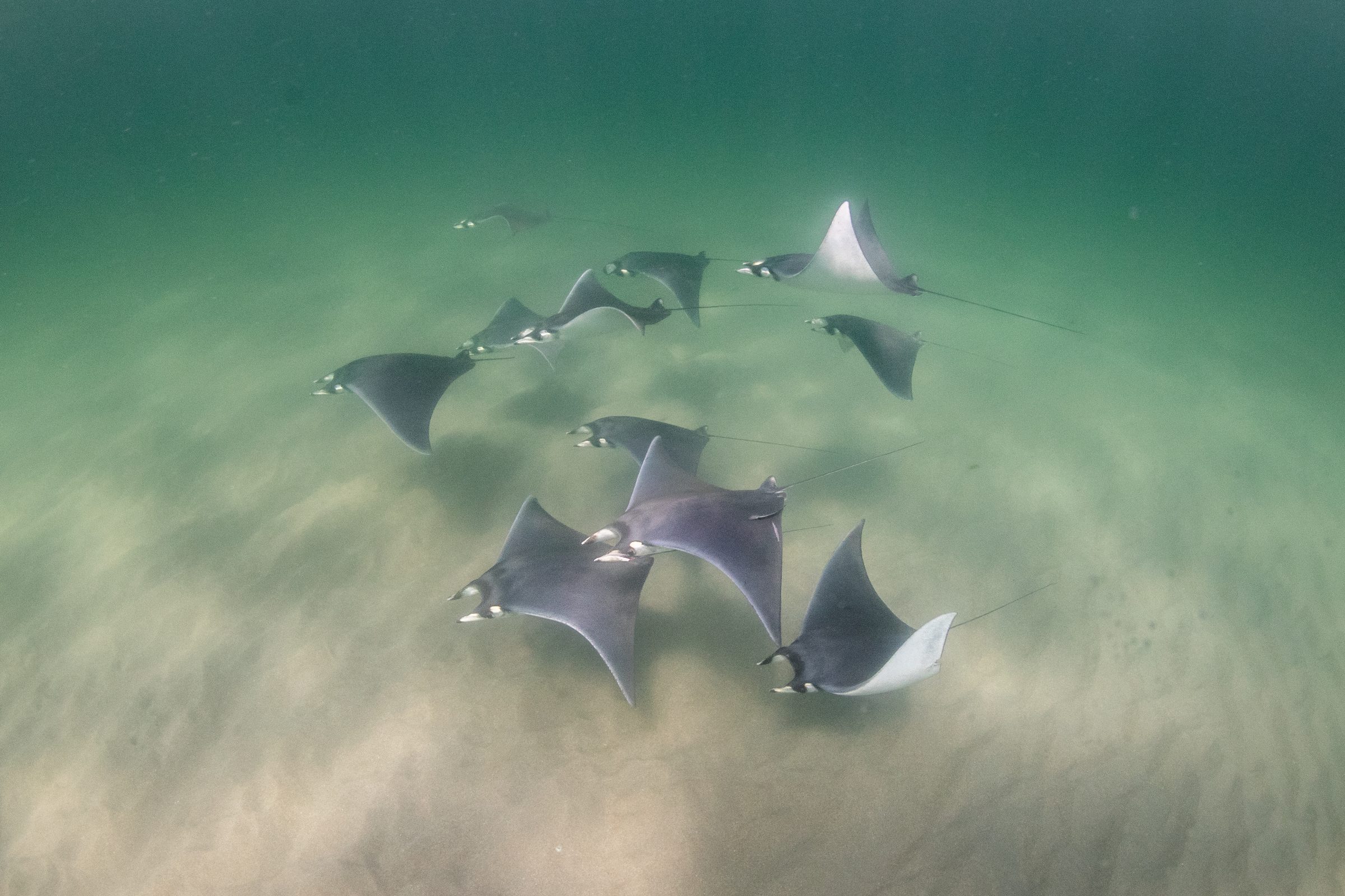 USAAtlantic Mobula RaysMapping the distribution of the western Atlantic's rarely encountered manta and devil rays, to establish the baseline their conservation requires.
 USAHawaii Oceanic Manta ProjectOceanic manta rays occur in Hawaiian waters, yet little is known about them there, so we are compiling sightings from researchers and divers to describe where and when the species occurs around the islands.