
Galápagos, Ecuador · Since 2020
Galápagos Yellowfin Tuna Project
Satellite tags on yellowfin tuna in the Galápagos showed that oxygen, not depth, limits their dives, keeping them close to the surface and within reach of fishing gear.
Led by Universidad San Francisco de Quito, with MMF
Yellowfin tuna (Thunnus albacares) are among the most valuable fish in the eastern Pacific. We tracked them inside the Galápagos Marine Reserve to determine how they use the water column where oxygen is depleted not far below the surface.
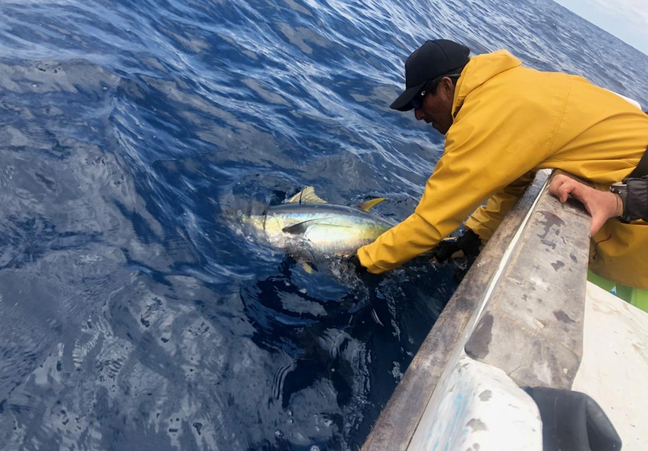
The Galápagos Marine Reserve covers more than 140,000 km² (54,000 square miles) around the islands. Industrial fishing is banned inside it; however, a local fleet of small boats fishes for tuna, and industrial purse seiners operate just outside its boundary. Upwelling around the islands also brings cold, oxygen-poor water unusually close to the surface. In this study, led by Dr. Chris Rohner with Dr. Alex Hearn of the Galápagos Science Center and Universidad San Francisco de Quito and Prof. Alberto Naveira Garabato of the University of Southampton, satellite tags showed how the tuna use the water column under these low-oxygen conditions. (Top photo: Jonathan Green.)
What the project has done
- Fitted pop-up satellite tags, which record movements and dives, to 14 adult yellowfin tuna, caught and released at several sites around the islands in August 2020, March 2021, and March 2022.
- Analyzed movement and dive records from eight tuna, tracked for 4 to 97 days, alongside modeled ocean oxygen levels.
- Published the results in the Journal of Fish Biology in 2023.
Support our research in the Galápagos
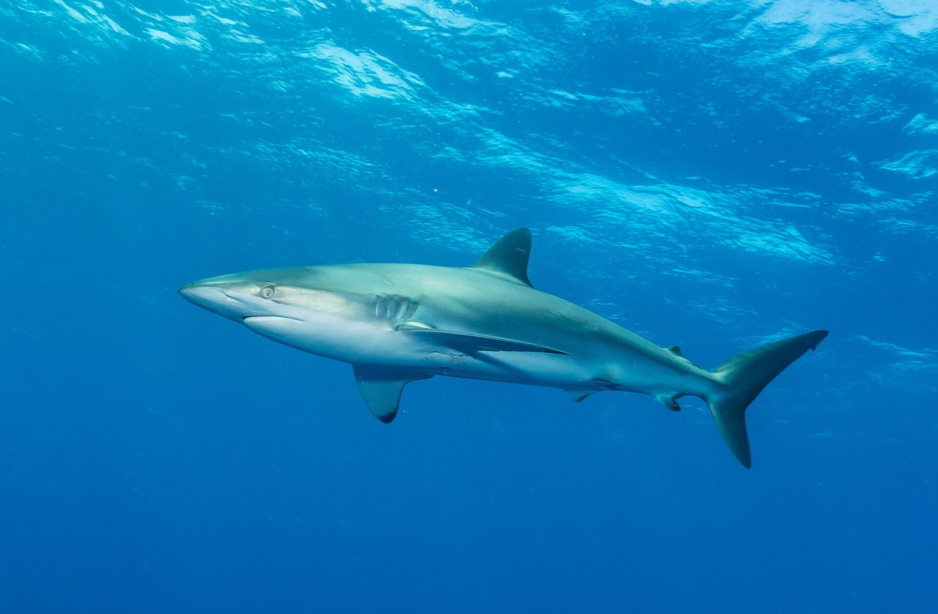
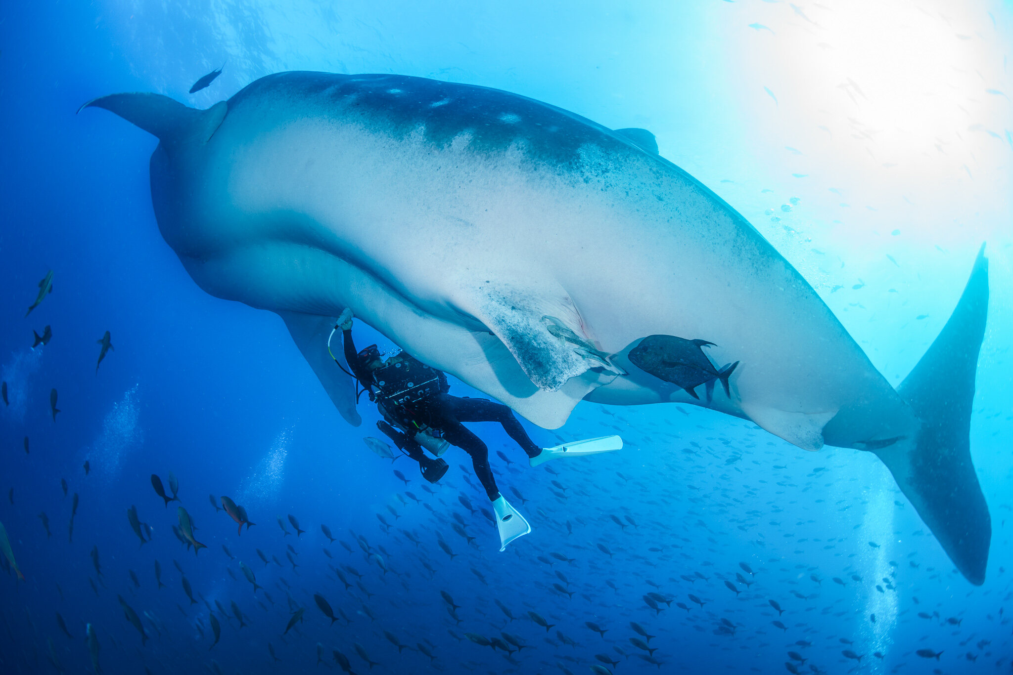
This study is complete. Your gift supports our current work on whale sharks and silky sharks in the Galápagos and the wider Eastern Tropical Pacific.
What the study found
Depth use
The tuna spent half of their time in the top 9 m (30 ft) and 90% in the top 50 m (160 ft), mostly within the warm, mixed surface layer. They swam deeper by day, at an average of 38 m (125 ft), than at night, when they averaged 11 m (36 ft), and most of their deep dives occurred in daylight, probably to hunt deeper-living prey. Seven of the eight tuna dived below 200 m (660 ft), and one reached 635 m (2,083 ft), where the water was just 7.2 °C (45.0 °F). (Photo: Galápagos Science Center.)
Oxygen sets the limit
Around the Galápagos, oxygen becomes scarce from about 50–70 m (160–230 ft) down, and at 100 m (330 ft) there is little oxygen anywhere in the region. The tuna dived into this low-oxygen water hundreds of times, but only briefly, and after each of these dives they waited an average of 51 minutes before the next, presumably to recover. The same fish that reached 635 m (2,083 ft) on one dive turned back at 200–300 m (660–980 ft) on others, where oxygen ran low; oxygen, rather than depth or temperature, therefore determines how deep they can go.
Horizontal movements
The tagged tuna traveled an average of 13.6 km (8.5 miles) a day, dispersing across the islands and over deep water offshore. All remained in Ecuador’s waters during tracking, and two left the reserve for a fishing hotspot along its western boundary. Their tracks point to the potential importance of protected areas in maintaining healthy yellowfin tuna stocks.
Implications for fisheries
Because the tuna spend most of their time near the surface, they overlap with every main fishing method in the region, from small-boat trolling inside the reserve to industrial purse seiners and surface longlines outside it. Oxygen-poor water has been expanding upward near the Galápagos for decades, and ocean oxygen is forecast to continue declining, which could compress the tuna’s habitat closer to the surface and make them easier to catch. The study therefore suggests that catch limits may need to account for this habitat compression.
 Dr. Chris Rohner
 Galapagos Silky Shark Project
 Galapagos Whale Shark Project