
Scientists have mapped 122 places across Asia that sharks and rays need to survive, such as where they breed, feed, and gather. Only 2.8% of that habitat lies within no-take zones, where fishing is prohibited.
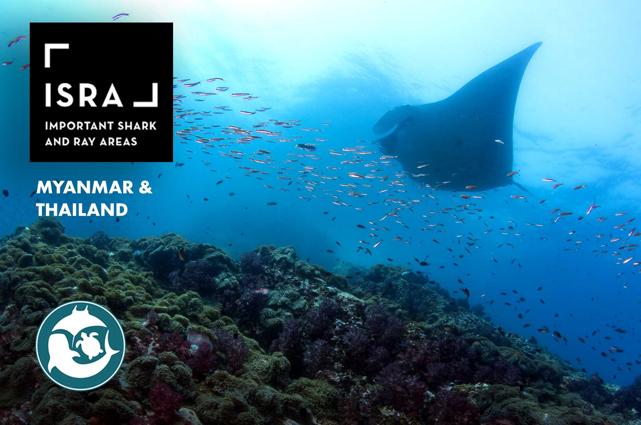
An oceanic manta ray (Mobula birostris) swims over a reef at Black Rock, Myanmar.
Mapping the places that matter
The study, published in Biodiversity and Conservation, was led by Adriana Gonzalez-Pestana of Charles Darwin University and the IUCN Species Survival Commission Shark Specialist Group, an international network of shark and ray experts. MMF Principal Scientist Dr. Chris Rohner was part of the project team that collected and analyzed the data. MMF’s Janis Argeswara, Lisa-Marie Auditore, Anna Flam, and Dr. Stephanie Venables were among the many scientists across the region who contributed data.
The study brings together all the Important Shark and Ray Areas identified across the Bay of Bengal, Southeast Asia, and the Northwest Pacific. Each of these areas marks habitat that matters to a species’ survival, such as a place where it gives birth, feeds, or gathers. Together, the 122 areas cover about 1 million square kilometers (400,000 square miles), roughly 3% of the region. They support 121 species of sharks, rays, and their relatives the chimaeras, around 30% of Asia’s species in these groups. Of those species, 76% are threatened with extinction. Places where sharks and rays reproduce were the most common type of habitat, identified in just over half of the areas, mostly close to shore.
Indonesia holds the most, with 40 areas making up 71.7% of their combined area. MMF’s long-term reef manta ray (Mobula alfredi) research helped identify areas at Nusa Penida, Komodo, and Derawan in Indonesia, and our data contributed to seven areas in Myanmar and Thailand. Across the region, observations from members of the public, mostly divers, were the most widely used source of evidence, while records from fisheries were underused.
The protection gap
Identifying an Important Shark and Ray Area does not, by itself, protect it. The areas are a scientific tool to show governments and fisheries managers where protection will count. The study compared the mapped areas with existing marine protected areas. Only 5.4% of their combined area lies within any marine protected area, and just 2.8% within no-take zones. Most protected areas in the region allow some fishing, and in 16 of the region’s countries and territories, protected areas cover less than 5% of national waters.
“Asia is also the epicenter of shark and ray declines, driven by overfishing, habitat degradation and coastal development,” Gonzalez-Pestana told Mongabay.
From maps to management
The maps give the region a ready-made guide for action. The authors recommend using these areas to decide where fishing and other activities take place, to shape fisheries management, and to guide where new marine protected areas go. Observations from the public and better fisheries records can then track how the areas fare over time. The authors also call for surveys to fill gaps in the data. These include the eight countries and territories where a lack of data has so far prevented any marine areas from being identified.
The Important Shark and Ray Areas project was funded by the Shark Conservation Fund. Read the open-access paper or explore the areas on the interactive Important Shark and Ray Areas map. Learn more on our reef manta ray page, or adopt a manta ray to support new research on manta rays.