
Scientists have mapped 125 important places for sharks and rays across the Western Indian Ocean. The study found that only 1.2% of that area lies inside no-take zones, where fishing is prohibited.
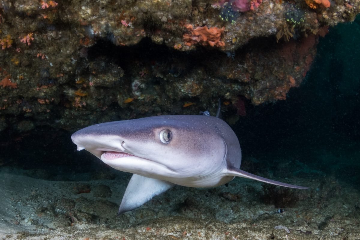
A whitetip reef shark (Triaenodon obesus) in Mozambique.
What the map shows
The study in Ecology and Evolution was led by Jesse Cochran of King Abdullah University of Science and Technology in Saudi Arabia. More than 100 scientists worked together through the Important Shark and Ray Areas project, run by the Shark Specialist Group of the International Union for Conservation of Nature (IUCN). MMF Principal Scientist Dr. Chris Rohner, Senior Scientist Dr. Nakia Cullain, and Co-Founder and Executive Director Dr. Simon Pierce are among the co-authors.
Important Shark and Ray Areas are places with evidence that they matter to sharks, rays, or their relatives the chimaeras, for example as places to feed, breed, or rest. The team identified 125 of them across the Western Indian Ocean. Together they hold habitat for 104 of the 270 species of sharks, rays, and chimaeras reported from the region. Of those 104 species, 76% are threatened with extinction on the IUCN Red List.
Records beyond journals
Published research alone was enough to support only 52 of those 104 species. Unpublished records, such as observations and survey data that had never appeared in a journal, filled much of the gap. They helped bring in 41 more species, and another 11 were included on unpublished records alone. Much of the evidence came from relatively inexpensive methods, such as visual counts of animals in the water, surveys at fish markets and the places where boats land their catch, and sightings shared by members of the public.
That evidence still has gaps. Large species that range widely and live in shallow water are better represented than small or deep-water species, so the map is a starting point rather than a complete picture.
Turning evidence into protection
Only 7.1% of the mapped area overlaps any marine protected area, including those that still allow some fishing, and just 1.2% overlaps no-take areas. Almost all of that no-take overlap is in the Seychelles, with a small share in the Chagos Archipelago and the rest spread across other countries.
The authors see the maps as an opportunity. Governments can use them to guide where new protected areas go, or which existing ones to expand, to cover the places sharks and rays depend on. That can also help them meet their commitments under the Global Biodiversity Framework, the international agreement to protect nature. For species that are hard to protect with boundaries alone, the authors point to other measures backed by enforcement, such as limits on fishing gear, size limits on catches, and seasonal fishing closures. “We need local management using a variety of strategies to allow fisher livelihoods and species conservation to coexist,” lead author Jesse Cochran told Mongabay.
The Important Shark and Ray Areas project was funded by the Shark Conservation Fund. Read the open-access paper, explore the interactive map of Important Shark and Ray Areas, learn about the threat of overfishing, or make a donation to support MMF’s research on sharks and rays.