
Australia · Global Whale Shark Program · Since 2019
Coral Sea Whale Shark Project
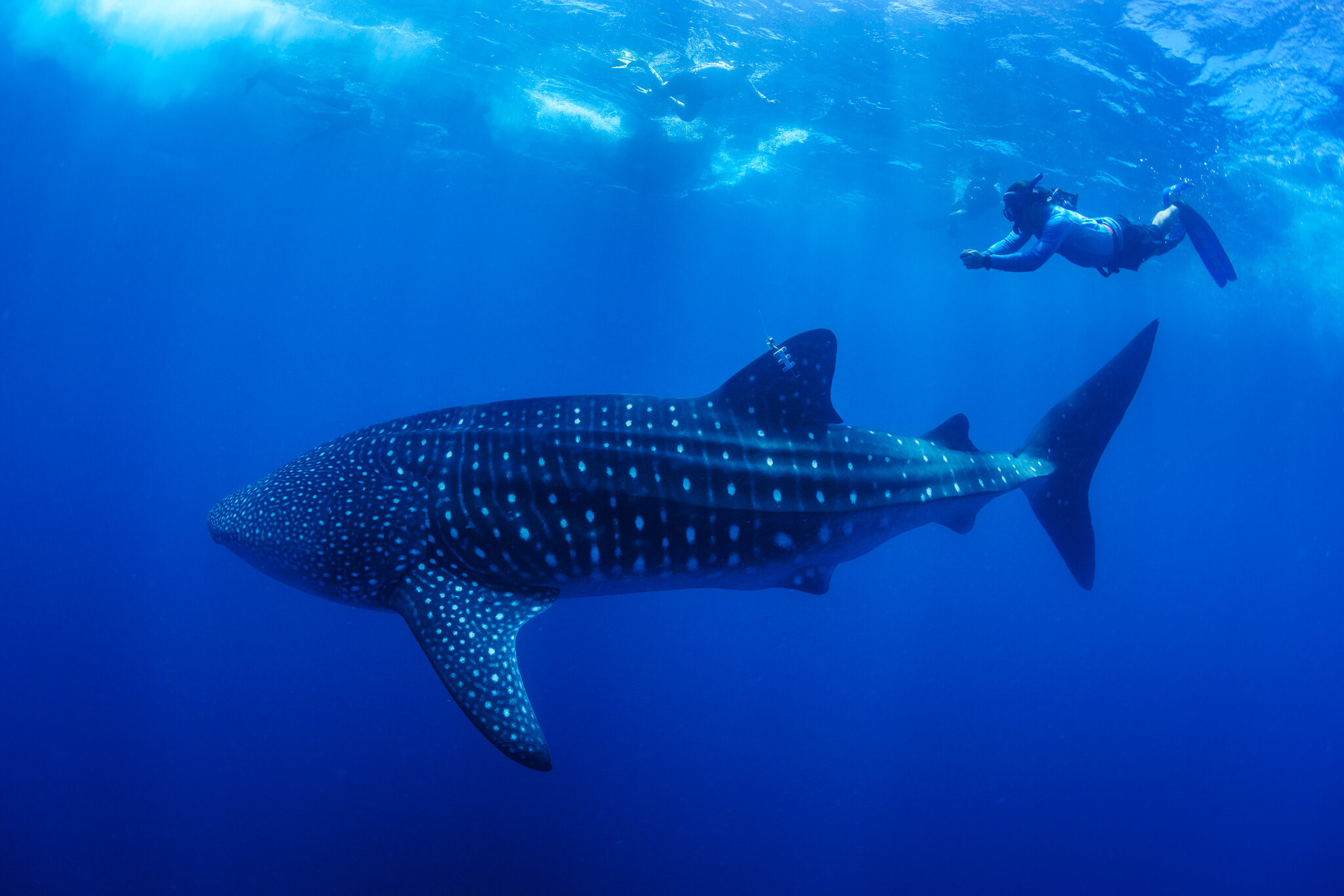
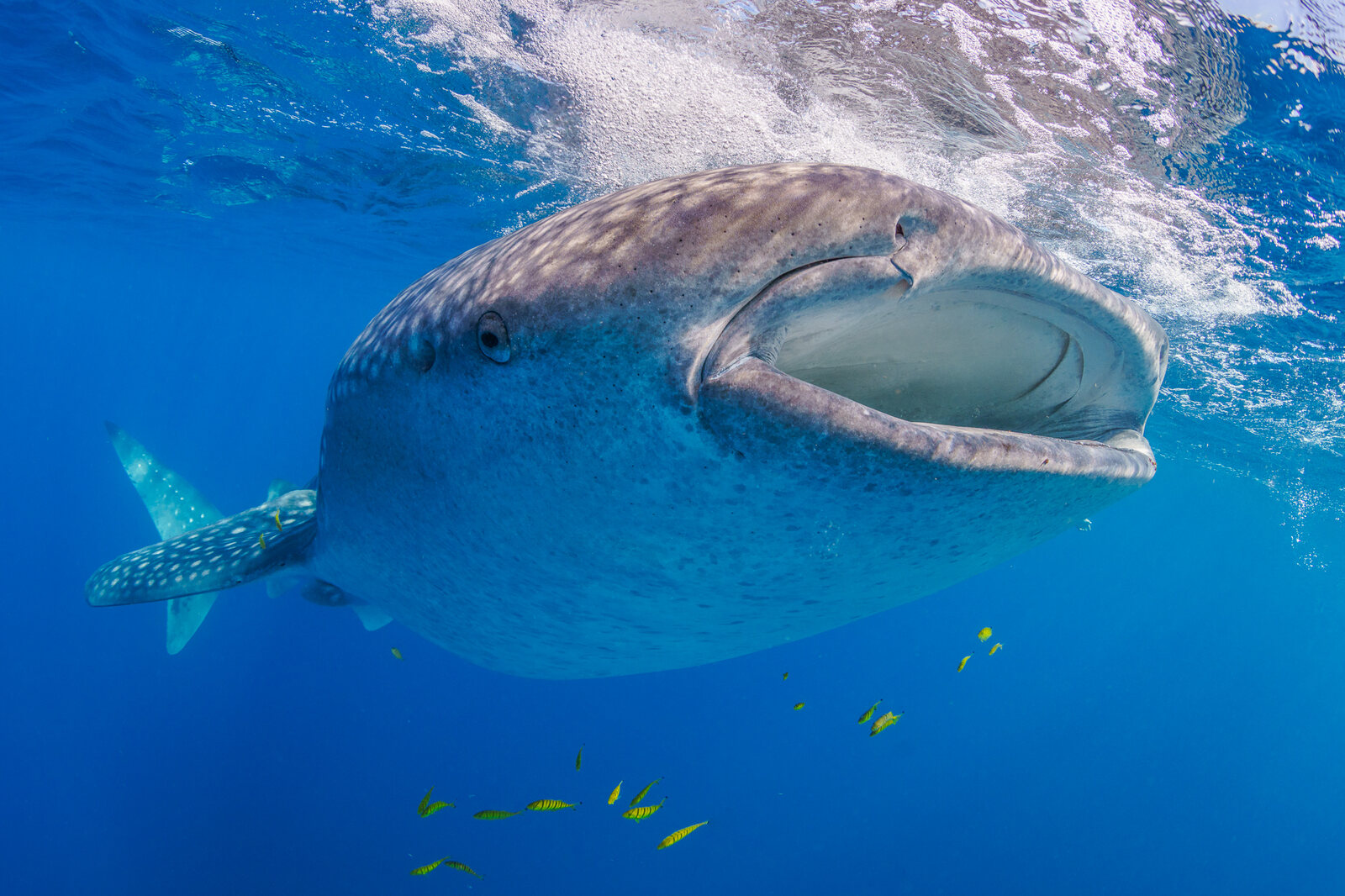
Young whale sharks aggregate at Wreck Bay each November and December before dispersing across the Coral Sea and beyond.
Led by Biopixel Oceans Foundation, with MMF
Whale sharks (Rhincodon typus) aggregate at about 30 known sites around the world, yet until recently none had been documented in the Coral Sea. Working with the Biopixel Oceans Foundation, which leads the project, and James Cook University, we helped locate and study the first: Wreck Bay, on the far northern Great Barrier Reef.
The project is led by the Biopixel Oceans Foundation, and the published studies by Dr. Ingo Miller of James Cook University and Biopixel. MMF’s Dr. Simon Pierce helped plan the study and took part in the fieldwork, data management, and writing, and Dr. Chris Rohner joined the field team. The work has been published in Ecology and Evolution (2025) and Hydrobiology (2026), and Wreck Bay is the first whale shark aggregation documented anywhere in the southwest Pacific east of Australia.
What the project has done
- Helped pinpoint Wreck Bay as the most likely site for an aggregation by combining historical sightings, public reports, seafloor maps, and what is known about other whale shark sites.
- Confirmed the aggregation on a first expedition in November 2019, with return expeditions in 2021, 2023, and 2024.
- Identified 59 individual whale sharks from photographs, all shared with the global Sharkbook database.
- Tracked 18 whale sharks with satellite tags, including tracks lasting more than two years.
- Recorded the deepest whale shark dive yet known, published in 2026.
What's next
- Search for other aggregations: groups of whale sharks have been sighted repeatedly off Townsville and Cairns, and tracked sharks visited the Gulf of Papua, where no sightings had been reported.
- Investigate which sharks use Wreck Bay and what they feed on there.
- Assess the threats whale sharks face in this newly identified habitat.
Support our whale shark research
Every shark we identify and every tag that transmits data adds detail to the map for this Endangered species. Your gift supports our whale shark research around the world.
Research findings
Predicting an aggregation
Whale sharks are sighted only sporadically along Australia’s east coast, usually alone, so searching such a vast area of ocean for them is a needle-in-a-haystack problem. With no known site to start from, the team instead set out to predict where an aggregation might occur. Between 2007 and 2018, 204 whale sharks were reported from 136 encounters along the coast. Groups were recorded only between September and January, mostly in November and December, and in November 2011 an estimated 31 whale sharks were reported feeding together at the edge of Wreck Bay.
Wreck Bay lies at the edge of the continental shelf. Its reefs form a sheltered, bay-like barrier that opens to the east, and the seafloor drops to 1,000 m (3,300 feet) at its entrance and 4,000 m (13,000 feet) in the Coral Sea beyond. In October 2018, a shark tagged off Cooktown, the first whale shark ever satellite-tracked on Australia’s east coast, moved to Wreck Bay and remained there for two weeks. An expedition in November 2019 then found the sharks there.
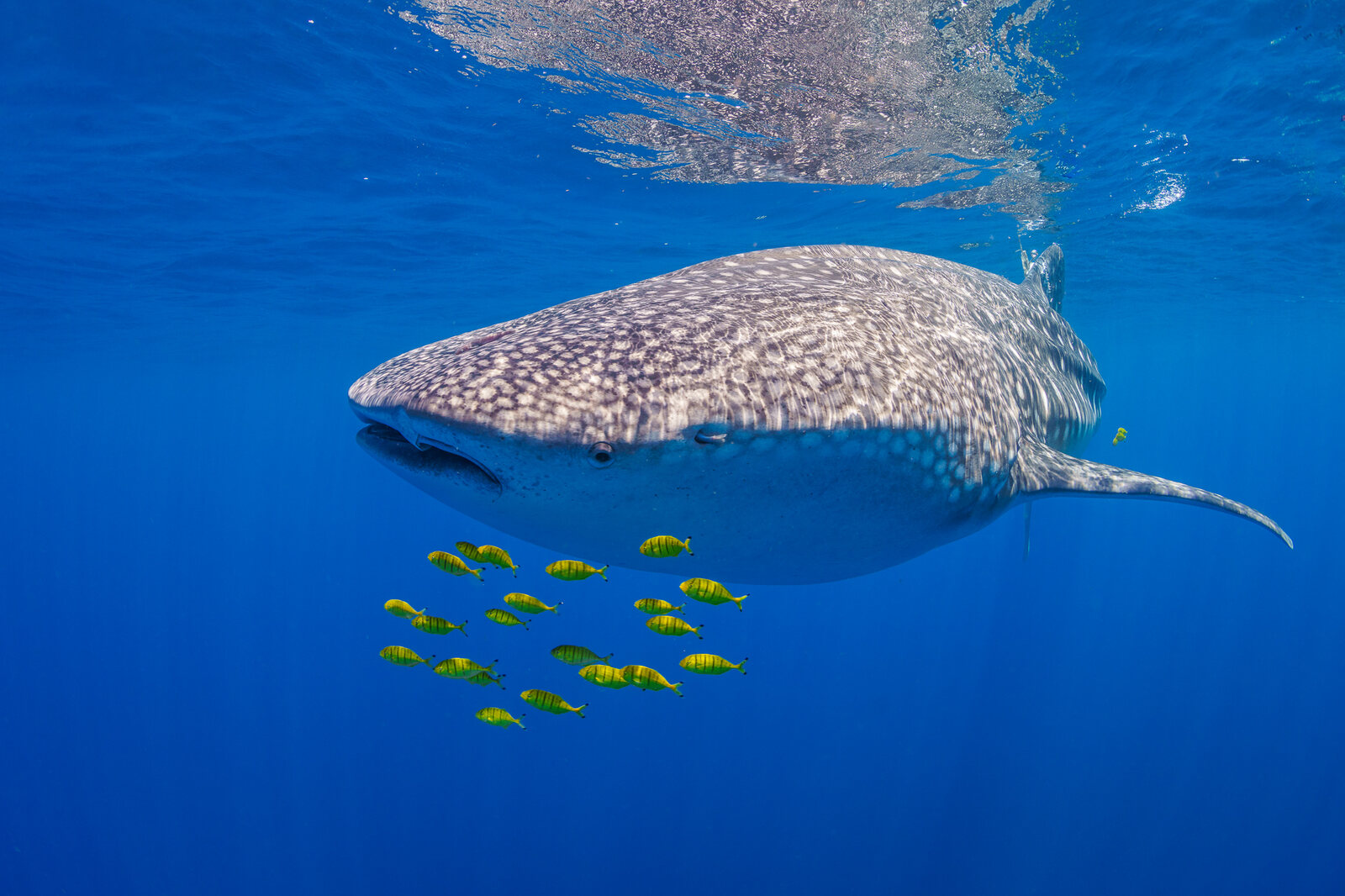
Photo-identification and population structure
On each expedition, a spotter plane searched the bay while a drone guided the team on the water to each shark. Working on snorkel, the team photographed each shark’s unique spot pattern behind the gills, recorded its sex, and estimated its length. Across four expeditions, 59 sharks were identified. All were young, from 3.5 to 8 m (11.5 to 26 feet) long, and males outnumbered females 3.5 to 1, a pattern seen at most whale shark aggregations.
The number of sharks counted from the air increased from 13 in 2019 to 67 in 2023, and one shark identified in 2023 returned in 2024. As of March 2025, none of the Wreck Bay sharks had been matched to a shark photographed anywhere else in Sharkbook’s global database.
Residency and movements
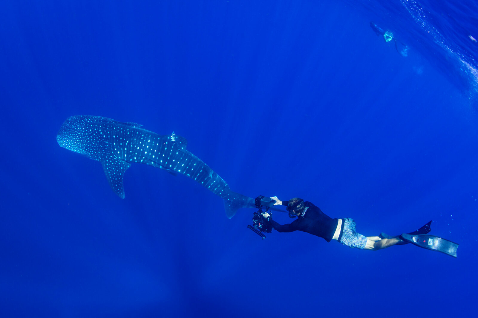
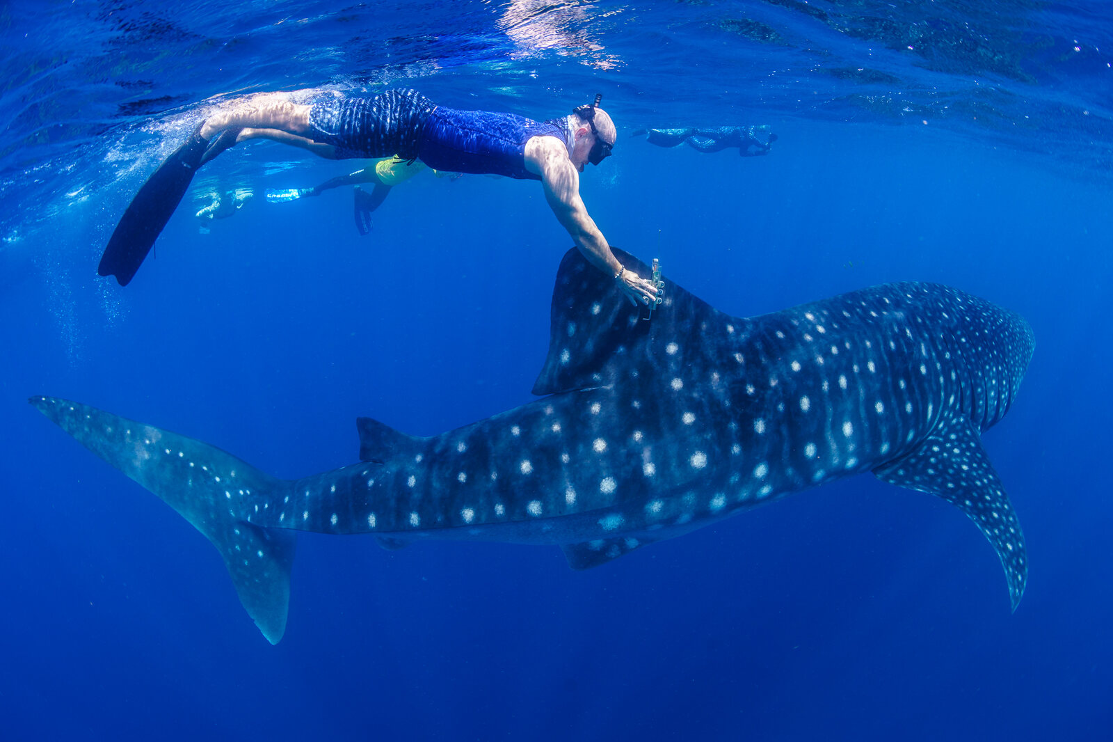
Satellite tags clamped to the dorsal fin showed that sharks remain around Wreck Bay for about three weeks on average, with the busiest period from late November to late December. During that time, they range along the outer reefs over a stretch of about 140 km (87 miles).
The sharks then disperse into the Coral Sea and beyond. Most remained within the wider Coral Sea, but two moved into the Solomon Sea, and both tracked females visited the Gulf of Papua. One female traveled at least 11,355 km (7,056 miles) over 770 days, one of the longest whale shark tracks ever recorded. Some sharks also returned to Wreck Bay in later years: a female tagged in 2021 returned in both 2022 and 2023.
Night feeding
The team sometimes saw sharks feeding at the surface during the day, but several were also seen feeding through dense patches of plankton at night, from sunset until late into the night. To the best of our knowledge, regular night feeding at the surface had been documented in the wild only at Ningaloo Reef in Western Australia, and it may be the main way the sharks feed at Wreck Bay. A preliminary analysis of the plankton in the patches where they fed found it was mostly krill.
Other large species also use the bay. Black marlin arrive at Wreck Bay at the same time of year, and the team also recorded reef and oceanic manta rays and Omura’s whales in the bay.
A record-breaking dive
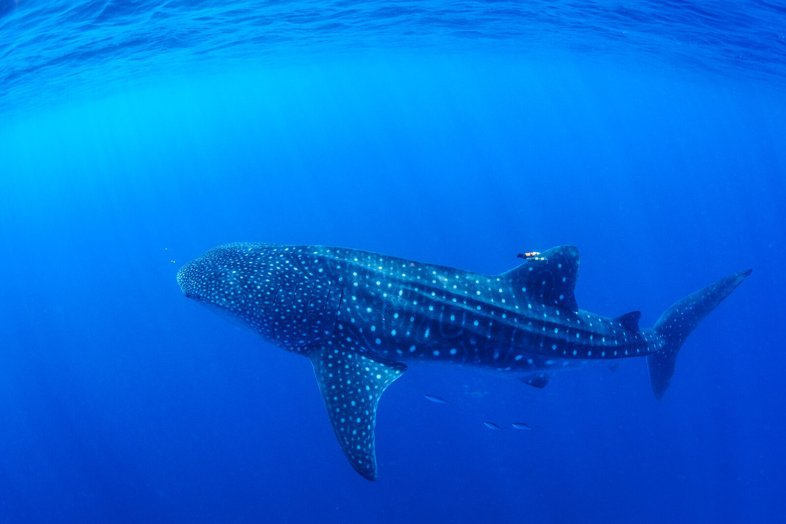
In November 2024, a 7 m (23-foot) young male known as Francky was fitted with a tag built to measure depths to 2,500 m (8,200 feet), deeper than standard tags. Francky mostly dived between 10 and 500 m (33 and 1,600 feet); on October 4, 2025, however, the tag recorded a dive to at least 1,978 m (6,490 feet), and possibly as deep as 2,527 m (8,291 feet). The previous record, 1,928 m (6,325 feet), was set in the Gulf of Mexico in 2010.
To the best of our knowledge, it is the deepest dive recorded for any fish that lives mainly near the surface. The dive took place over an underwater channel more than 3,000 m (9,800 feet) deep that links Wreck Bay to the Coral Sea basin. The function of such deep dives is still unknown; feeding, navigation, thermoregulation (controlling body temperature), and gliding to save energy have all been suggested.
Significance for management
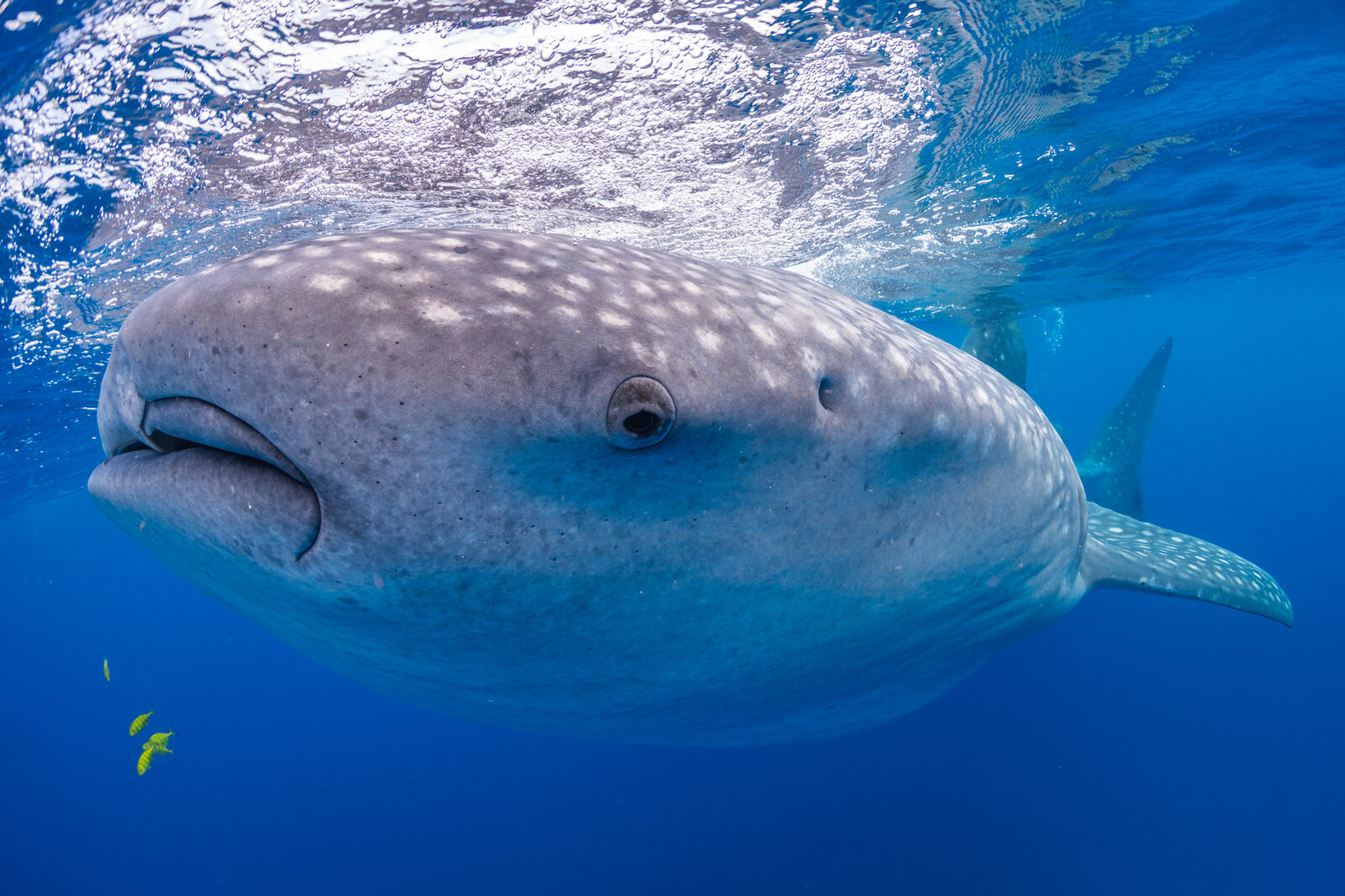
Whale sharks are Endangered, and the southwest Pacific has been one of the largest gaps in knowledge of the species. Identifying this habitat is significant for both the Great Barrier Reef Marine Park and the Coral Sea Marine Park. Whale sharks are not yet a management priority in the region, so these results give managers a first picture of an important habitat, and they will inform future assessments of the species’ status. Wreck Bay may not be the only aggregation site on this coast; searching for additional sites is a research priority.
MMF Project Team
 Dr. Simon Pierce
 Dr. Chris Rohner
Collaborators and Partners

Recent research
- 2026No model fits all: Dynamic ensemble species distribution model reveals seasonal patterns of essential habitat use by ocean giants in the southwest Pacific
- Whale sharks do it deeper: Extension of known depth range for Rhincodon typus from satellite telemetry data in the Coral Sea, Australia
- 2025The needle in the haystack: Uncovering the first whale shark (Rhincodon typus) aggregation in the Coral Sea
 Galapagos Whale Shark Project
 Madagascar Whale Shark Project
 Microplastics & Megafauna
 Mozambique Whale Shark Project