
Global campaign
Open Ocean Giants
Whale sharks, oceanic manta rays, and devil rays travel far beyond any one country's waters. Our campaign uses evidence of their movements to inform the treaties and protected areas that can safeguard them across their range.


Whale sharks, oceanic manta rays, and devil rays range far beyond the waters of any one country and into the high seas. There, ocean-going sharks and rays face intense pressure from industrial fishing, and whale sharks overlap heavily with shipping. Open Ocean Giants brings together our tracking research, habitat mapping, and work under international treaties to help protect these animals across their whole range.
Protecting these animals therefore requires cooperation between countries and on the high seas, the areas beyond national jurisdiction. The High Seas Treaty (opens in a new tab), the United Nations agreement on marine biodiversity in these areas, entered into force on January 17, 2026. Adopted in June 2023, it provides for area-based management tools, including marine protected areas. Its first Conference of the Parties, the meeting of the countries that have joined the treaty, is scheduled for January 2027 in New York.
Our scientists have co-authored many of the studies documenting where ocean giants travel, feed, and aggregate, and the threats they encounter along the way. Tracking identifies the habitats these species depend on, and so provides evidence of where protected areas and other measures could reduce their exposure to threats.
Our flagship species are the whale shark (Rhincodon typus) and the oceanic manta ray (Mobula birostris), both listed as Endangered on the IUCN Red List, together with the devil rays that share their open-ocean habitat. The campaign builds on our Global Whale Shark Program and Global Manta Ray Program, and is led by Dr. Chris Rohner and Dr. Simon Pierce.
Objectives
- Map where whale sharks, oceanic manta rays, and devil rays travel and feed in the open ocean, including the high seas, through satellite tracking and photo-identification.
- Identify the movement corridors and feeding areas these species share across national boundaries, and contribute that evidence to Important Shark and Ray Areas.
- Provide the scientific case for their protection under the Convention on Migratory Species, and support its implementation by the countries that share these animals.
- Make our tracking evidence available to inform protected-area proposals under the High Seas Treaty, and the fisheries measures that complement them, in the habitats these species depend on.
Projects in the campaign
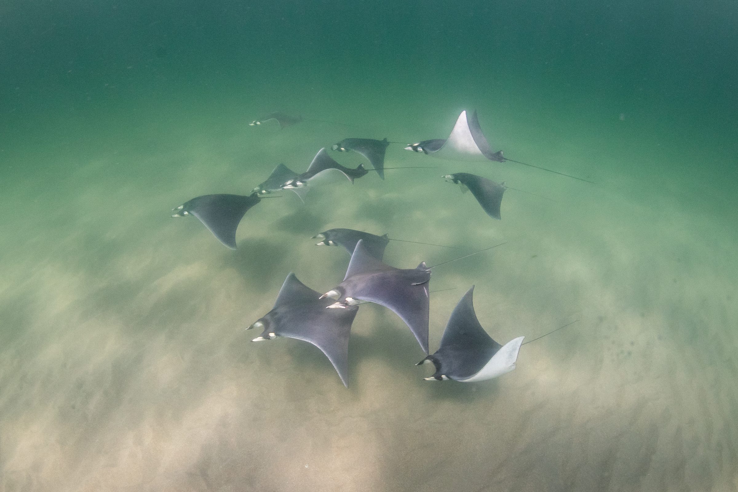
Atlantic Mobula Rays
Mapping the distribution of the western Atlantic's rarely encountered manta and devil rays, to establish the baseline their conservation requires.
Led by Jessica PateAbout the project →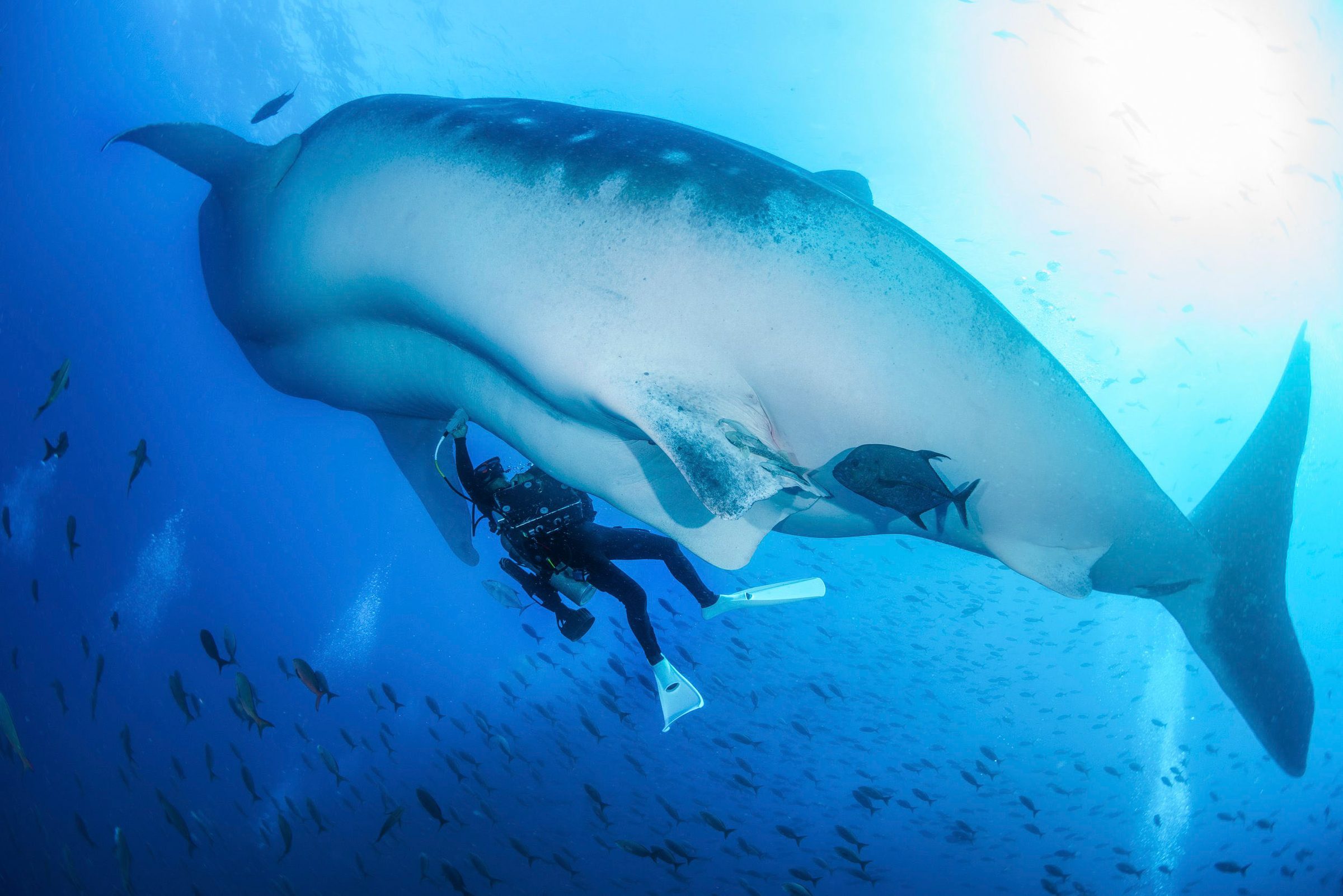
Galapagos Whale Shark Project
Almost all the whale sharks passing Darwin Island are large adult females, a demographic rarely seen anywhere else.
Led by Galapagos Whale Shark Project, with MMFAbout the project →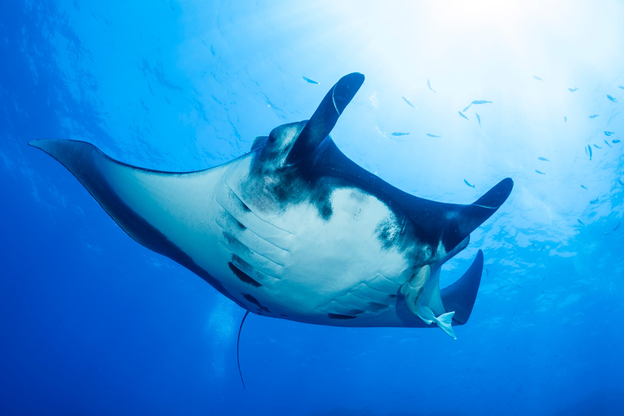
Revillagigedo Manta Ray Research
Revillagigedo National Park is a well-known aggregation site for oceanic manta rays, and the first place where pregnancy has been confirmed in free-swimming oceanic manta rays by underwater ultrasound.
Led by Dr. Madalena Cabral, Cuidando los Mares de México A.C., with MMFAbout the project →Completed projects
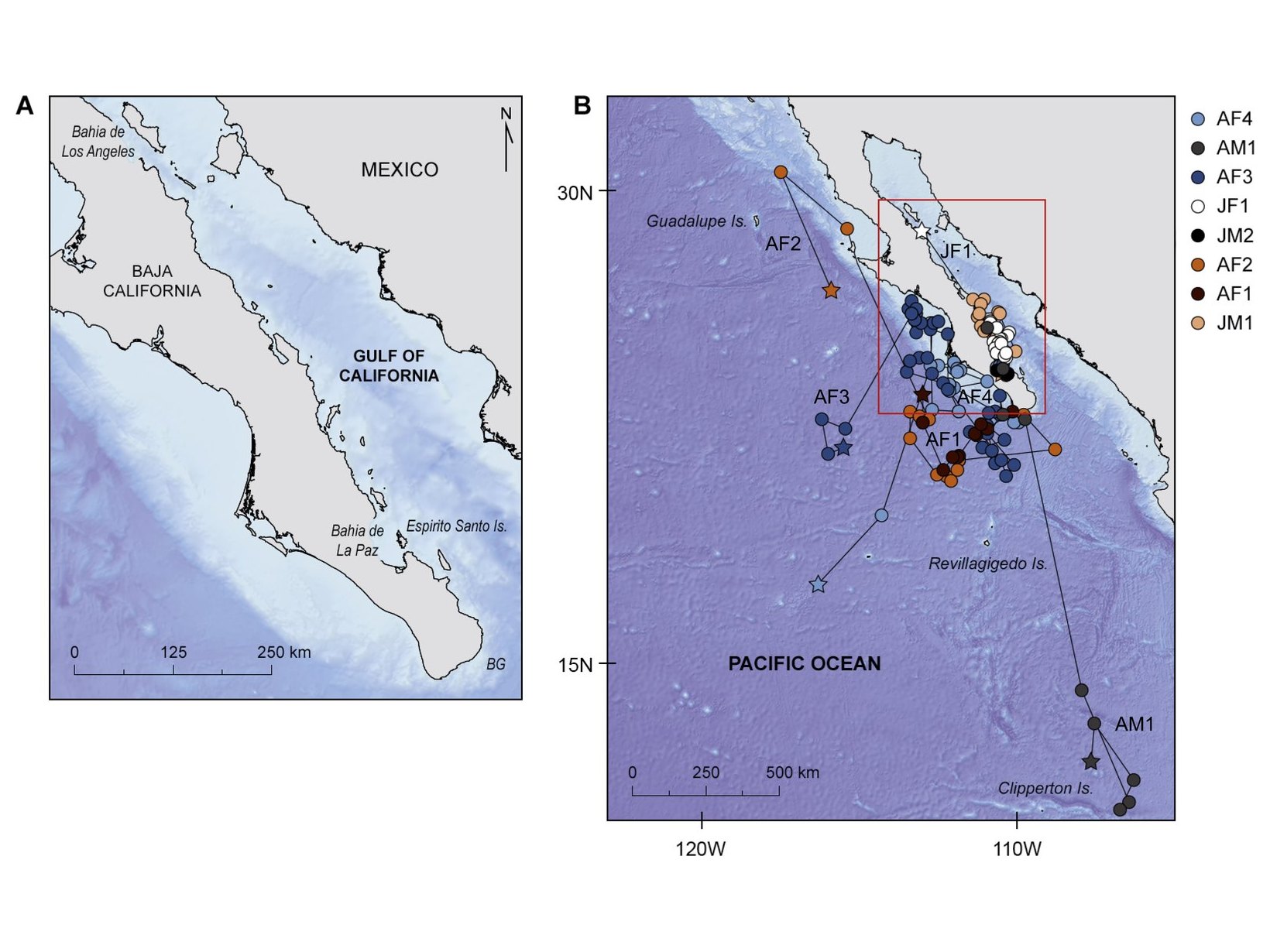
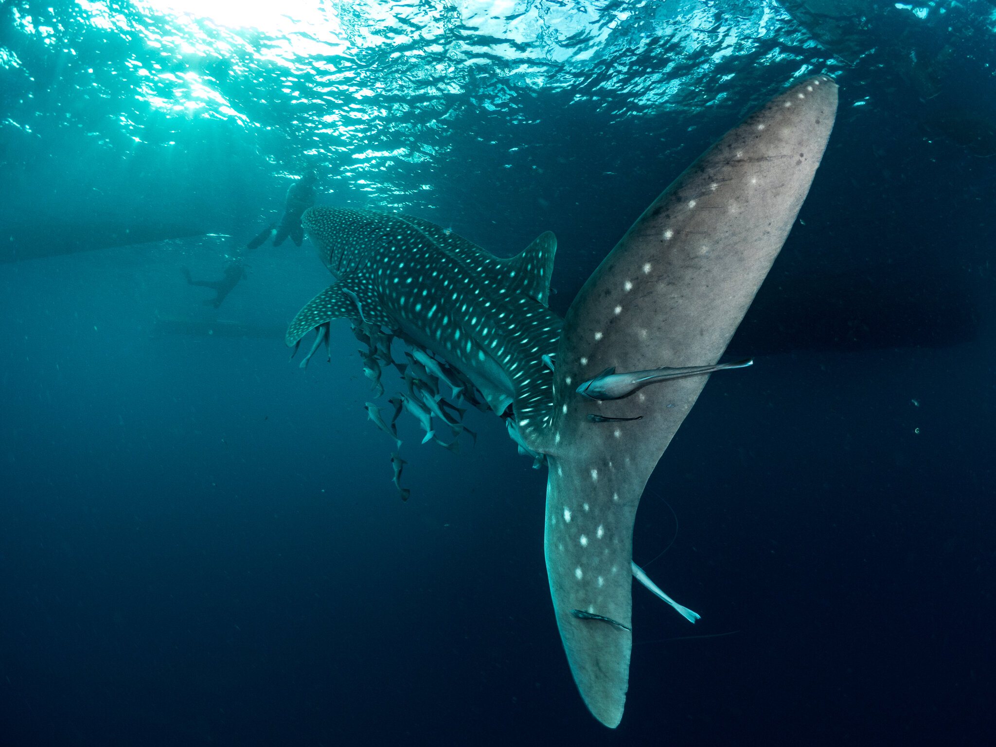 Gulf of California and eastern Pacific, MexicoPacific Mexico Whale Shark TrackingSatellite tags showed that the juvenile whale sharks tracked stayed inside the Gulf of California, while the adults, most of them apparently pregnant females, moved into the open Pacific.
What we've done
- Wrote the technical proposal behind the whale shark’s 2017 listing on Appendix I of the Convention on Migratory Species (CMS).
- Worked with the government of Ecuador to champion the listing of the oceanic manta ray on CMS in 2011.
- Co-authored a 2019 global study in Nature (opens in a new tab) that found ocean-going sharks, whale sharks among them, have limited refuge from longline fishing on the high seas.
- Co-authored a study of 111 satellite-tag deployments (opens in a new tab) that tracked whale sharks from five Indian Ocean aggregations into the waters of 24 countries and into international waters.
- Co-authored a 2022 global analysis (opens in a new tab) of the overlap between tracked whale sharks and large ships.
- Co-authored a 2025 study in Science (opens in a new tab) that combined the tracks of 15,845 animals from 121 species to map the migratory corridors and residence areas of marine megafauna worldwide.
- Co-authored Ocean Travellers (opens in a new tab), the IUCN Shark Specialist Group’s 2025 global report on Important Shark and Ray Areas for migratory sharks and rays.
What's next
- Continue satellite tracking of the adult female whale sharks that pass Darwin Island in the Galápagos, many of which travel into the open Pacific.
- Follow oceanic manta rays beyond the boundary of Mexico’s Revillagigedo National Park.
- Launch research expeditions with the Shared Seas Lab to study manta and devil rays off the northeastern United States.
- Bring our tracking data and Important Shark and Ray Area evidence to the processes being established under the High Seas Treaty.
The evidence for open-ocean protection
Movements that cross borders
Satellite tracking has repeatedly shown that whale sharks studied at coastal sites also use habitats far offshore and across international boundaries. In Mexico’s Gulf of California, Dr. Dení Ramírez-Macías of Whale Shark Mexico led a tracking study (opens in a new tab) co-authored by MMF’s Simon Pierce. The three tracked juveniles remained inside the Gulf, whereas all five tracked adults left soon after tagging and moved into the open Pacific. Off Mozambique, juvenile whale sharks we tagged traveled up to 2,737 km (1,701 miles), and several left shelf waters and crossed international boundaries. Off Madagascar, five of the eight tagged sharks swam off the shelf into the northeastern Mozambique Channel.
A study combining 111 satellite-tag deployments (opens in a new tab) across five Indian Ocean aggregations detected whale sharks in the waters of 24 countries and in international waters. Individuals traveled up to 11,401 km (7,084 miles), yet sharks from each aggregation occupied separate areas of the ocean and faced different threats. The authors therefore concluded that multinational coordination is essential to extend conservation efforts beyond national jurisdictions.
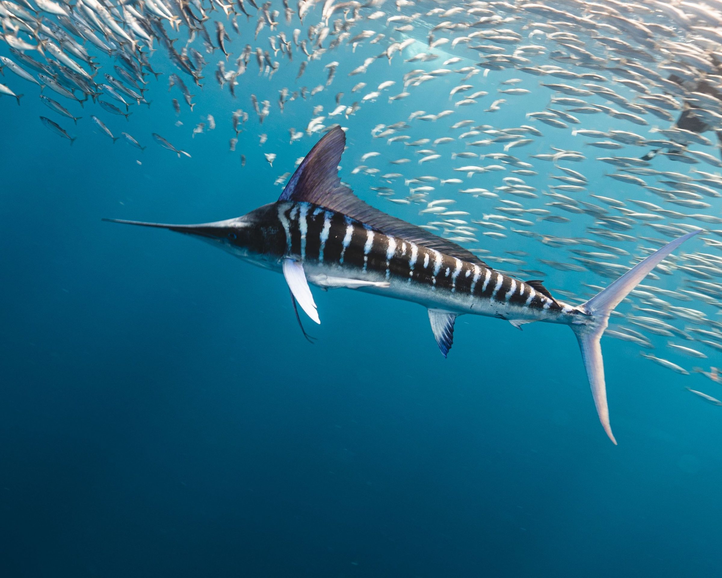
Other open-ocean species follow the same pattern. Our satellite tracking of striped marlin tagged by Kenya’s sport-fishing crews recorded one fish traveling 9,187 km (5,709 miles) in six months, and the tagged fish as a group reached the Gulf of Aden, the Arabian Sea, and waters near the Maldives.
Few refuges from fishing on the high seas
Ocean-going sharks and rays face intense fishing pressure in international waters. A 2021 analysis (opens in a new tab) co-authored by MMF co-founder Dr. Andrea Marshall estimated that the global abundance of oceanic sharks and rays declined by 71% between 1970 and 2018. It attributed that decline to an 18-fold increase in relative fishing pressure, and found that three-quarters of the 31 oceanic species were threatened with extinction.
A 2019 global study in Nature (opens in a new tab), co-authored by MMF’s Simon Pierce and Chris Rohner, had already shown where that pressure falls. It compared the satellite tracks of ocean-going (pelagic) sharks, whale sharks among them, with the movements of global fishing fleets, and found that 24% of the mean monthly space used by the tracked sharks fell under the footprint of pelagic longline fisheries. That overlap reached 64% in the space-use hotspots of internationally protected species, the areas those sharks used most intensively. The authors concluded that pelagic sharks have limited refuge from current fishing effort on the high seas, and called for conservation and management measures at their high-seas hotspots.
Shipping and critical habitats
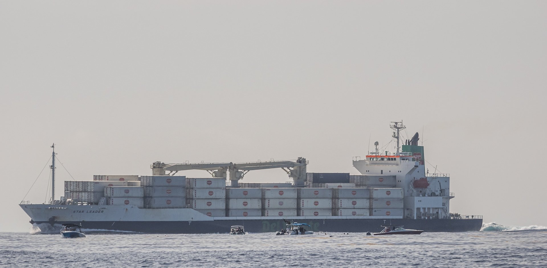
Fishing is not the only pressure. A 2022 global analysis (opens in a new tab) co-authored by MMF scientists found that 92% of the horizontal space used by tracked whale sharks overlapped with persistent large-vessel traffic, with overlap also extending to nearly half of their vertical space use (the depths they occupy). Depth-recording tags also provided evidence of sharks sinking, likely dead, which suggests that some lethal ship strikes go undetected. Our ship strike research explains that threat in more detail.
These pressures reach the migratory corridors and residence areas that marine megafauna depend on most. A 2025 study in Science (opens in a new tab), co-authored by MMF scientists, assembled 11 million positions from 15,845 tracked animals of 121 species. Important migratory corridors and residence areas accounted for 63% of the area these animals covered, yet were used 80% of the time. The study concluded that protecting 30% of the ocean, the Kunming-Montreal Global Biodiversity Framework’s target, will be insufficient on its own for marine megafauna. Its authors argued that area protection must therefore be combined with measures such as fishing regulation and the separation of vessel traffic from wildlife.
Important areas on the high seas
The IUCN Species Survival Commission’s Shark Specialist Group identifies Important Shark and Ray Areas (ISRAs) using global scientific criteria. An ISRA is not a protected area and creates no new rules. Instead, it gives governments, fisheries managers, and marine planners independent evidence to guide decisions about how these waters are managed.
Several ISRAs extend into the high seas. The Pacific Equatorial Front (opens in a new tab) lies mostly beyond national jurisdiction in the Eastern Tropical Pacific and qualifies as a whale shark feeding and movement area. Evidence for its movement criterion includes research on whale shark migrations (opens in a new tab) co-authored by MMF’s Chris Rohner.
The Gulf of California–Revillagigedo–Clipperton Migration Corridor (opens in a new tab) spans Mexican and French waters and areas beyond national jurisdiction. Its evidence for whale shark movements includes the Pacific Mexico tracking study co-authored by Simon Pierce, and oceanic manta rays are also among its qualifying species.
The Eastern Tropical Pacific Marine Corridor (opens in a new tab) extends into international waters from Costa Rica, Panama, Colombia, Nicaragua, Honduras, Ecuador, and northern Peru. It is recognized as a feeding area for both whale sharks and oceanic manta rays. Diet studies co-authored by Andrea Marshall form part of the evidence for its importance to manta rays.

Corridors and a global map
ISRAs also recognize the corridors animals use to move along coasts and between countries. The Southern Mozambique (opens in a new tab) ISRA covers coastal and open waters in the southwestern Mozambique Channel. It is recognized as an important movement area for whale sharks and for reef and oceanic manta rays, with MMF’s tracking data among its evidence. The Strait of Hormuz Corridor (opens in a new tab) recognizes whale shark movements between the Arabian Gulf and the Gulf of Oman, drawing on research co-authored by MMF scientists.
In 2025, Chris Rohner co-authored Ocean Travellers (opens in a new tab), the Shark Specialist Group’s global report on Important Shark and Ray Areas for migratory sharks and rays. Prepared with support from the Convention on Migratory Species, it draws on more than 750 ISRAs identified through the expertise of over 1,330 scientists from more than 100 countries. Its mapping includes areas beyond national jurisdiction. The next phase of that work will apply these findings in emerging governance processes, including the High Seas Treaty.
Protection under the Convention on Migratory Species
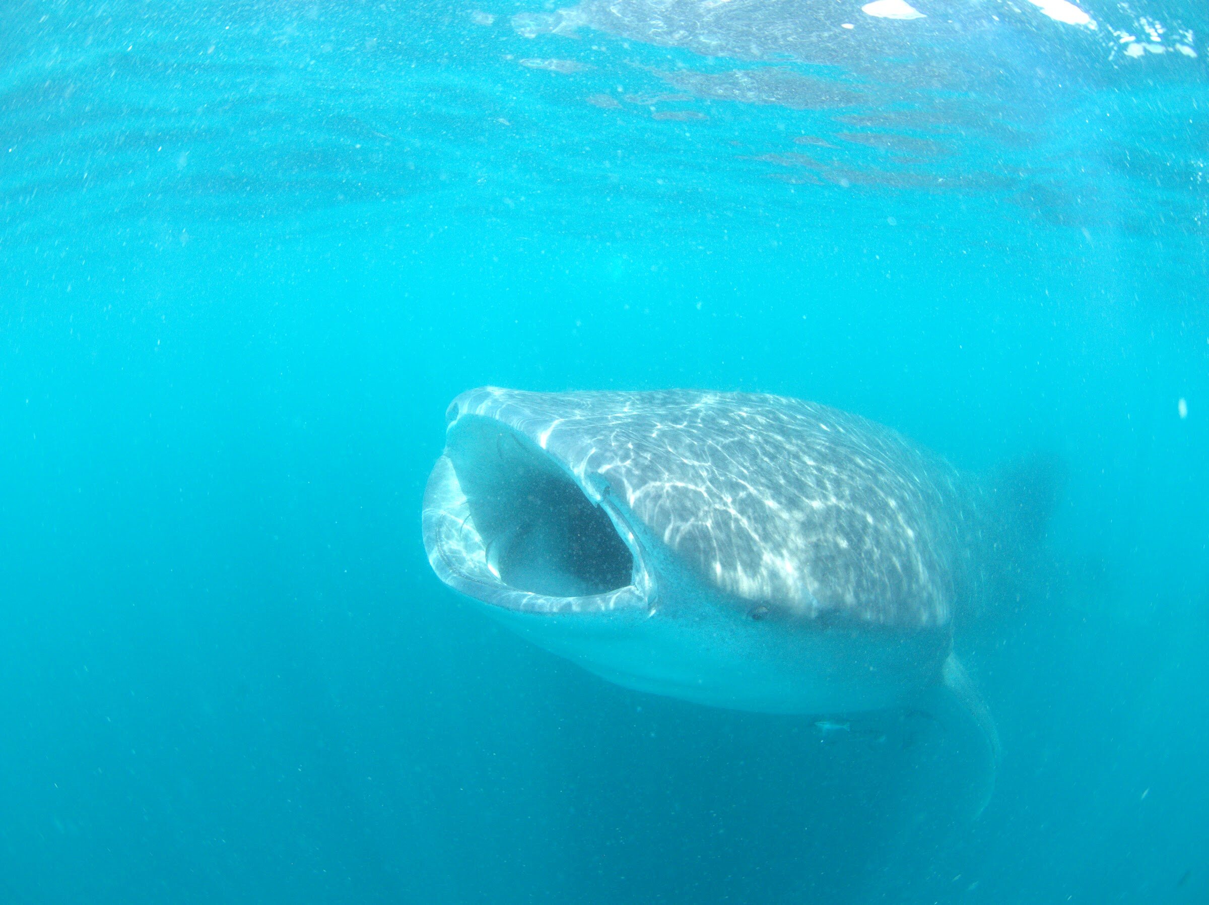
The Convention on Migratory Species (CMS) provides a framework for the countries that share migratory animals to cooperate on their conservation. Its Appendix I requires countries within a species’ range that have joined the convention to prohibit taking (capturing or killing) listed species, with limited exceptions. Whale sharks were listed on Appendix II of CMS in 1999 and, following their classification as Endangered, were added to Appendix I in 2017. Dr. Simon Pierce wrote the technical proposal for that uplisting, which the Philippines put forward as lead proponent. The oceanic manta ray was listed on CMS in 2011, after Andrea Marshall and the MMF team worked with the government of Ecuador to champion the listing. The reef manta ray followed in 2014.
For the CMS Secretariat, Simon co-authored the fact sheets Human Impacts on Sharks and Rays (2022), and Chris Rohner co-authored a 2023 report on limiting ship strikes on whale sharks. A 2026 study co-authored by Chris and Simon (opens in a new tab) established the first baseline of migratory connectivity, the links that animal movements create between places, for the CMS-listed sharks and rays of Australian waters. It documented five species linking Australia with other countries, but found no movement data for 18 of the 29 species reviewed. That gap limits the evidence available to coordinate their conservation across borders (read the story).
Whale shark movements from the Galápagos
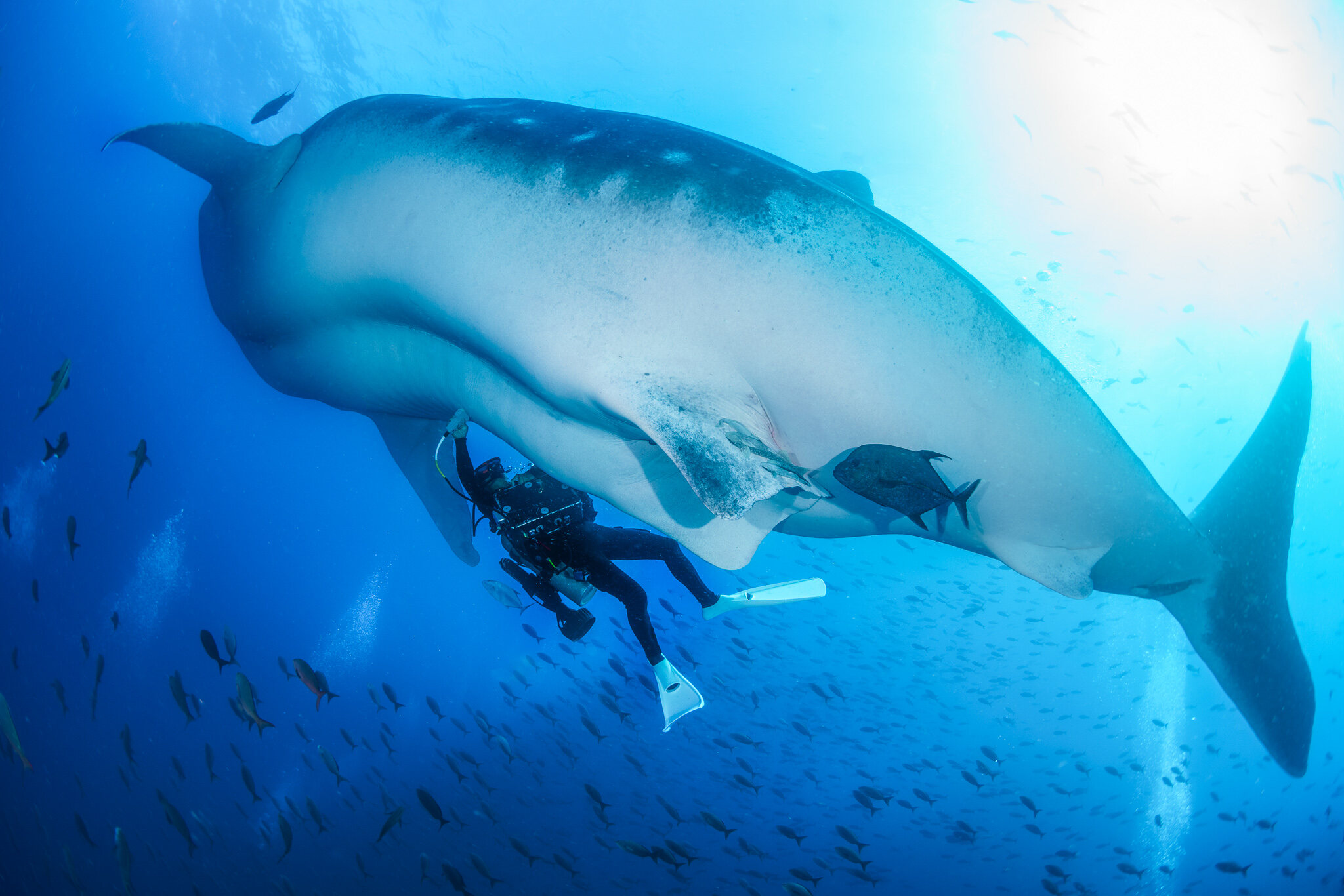
Darwin, the northernmost island in the Galápagos, is one of the few places where large adult female whale sharks are regularly seen. The Galapagos Whale Shark Project leads the research, with MMF as a collaborating partner, and more than 100 whale sharks have been satellite tagged since the project began. Tracking published in 2021 (opens in a new tab) showed that most sharks tagged in July moved west into the open Pacific. In contrast, those tagged in September and October traveled toward South America. By late December and early January, the sharks whose tags were still transmitting were in the upwelling region off southern Ecuador and northern Peru, where deeper water rises toward the surface.
One shark traveled to within 80 km (50 miles) of Costa Rica’s Cocos Island before turning east to Malpelo, off Colombia. The sharks also follow the fronts where cool upwelling meets warm tropical water, showing why their protection must account for moving oceanographic features as well as fixed places. Our work there helped secure the Hermandad Marine Reserve, a 60,000 km² (23,000 square miles) expansion of Ecuador’s marine protection declared in 2022.
Oceanic manta rays and devil rays
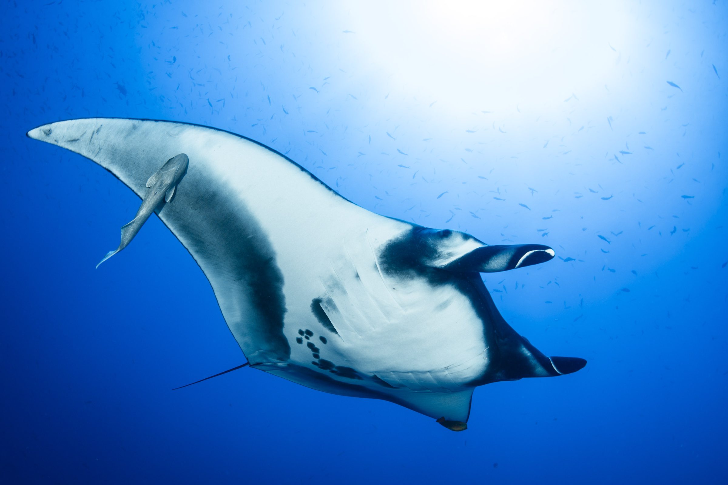
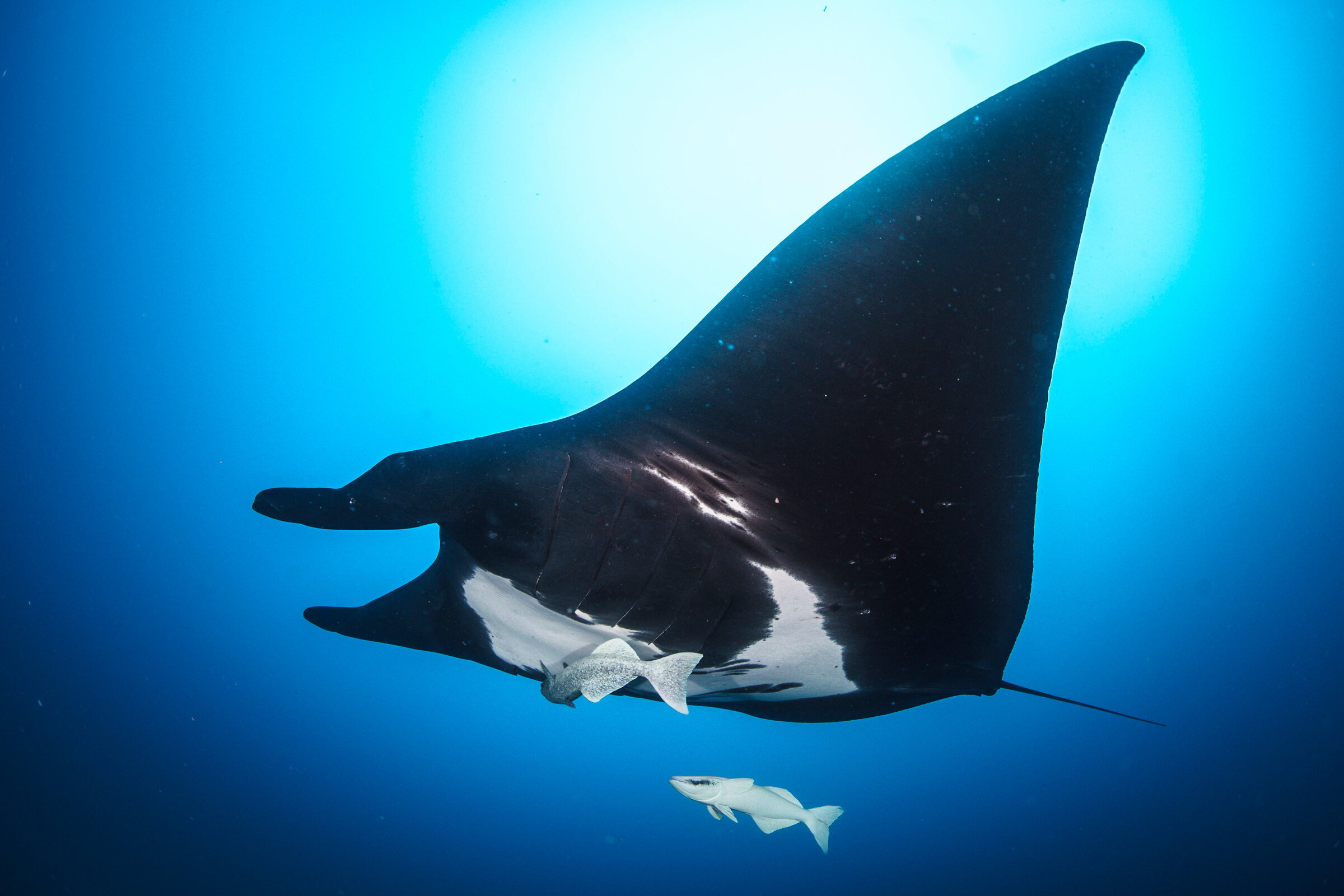
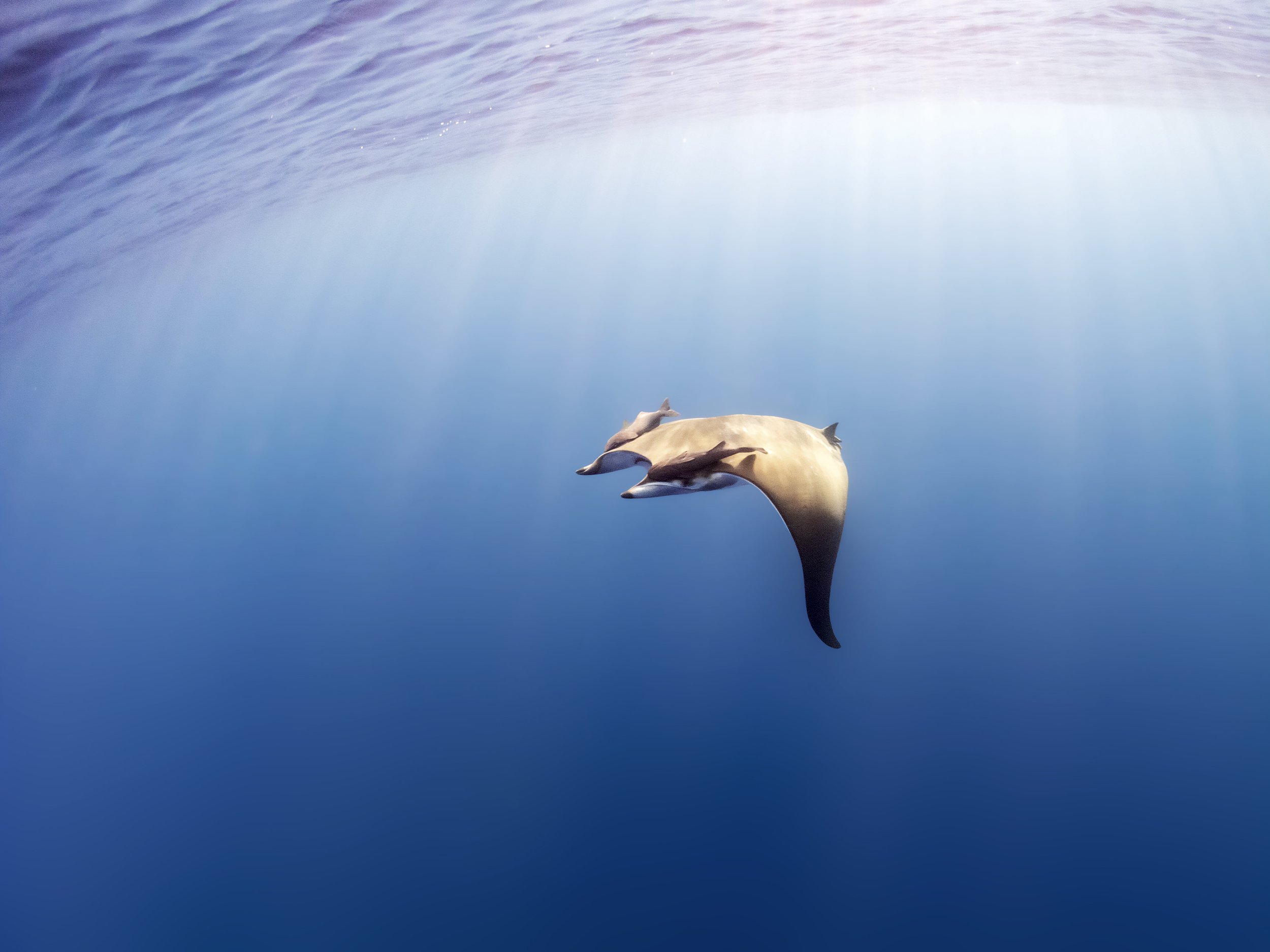
Oceanic manta rays have been listed as Endangered on the IUCN Red List since 2020, yet their movements in the open ocean remain poorly known. Dr. Madalena Cabral of Cuidando los Mares de México leads research at Mexico’s Revillagigedo National Park, 400 km (250 miles) south of the Baja California peninsula. We contribute expeditions and photo-identification, which distinguishes individual rays by the spot patterns on their bellies. Satellite tags have been deployed there to follow the rays beyond the park’s boundary.
In Hawaii, oceanic mantas are often encountered far from shore. We are compiling sightings from researchers and the diving community to describe where they occur around the islands. Off Ecuador, a 2022 study (opens in a new tab) co-authored by Andrea Marshall identified 2,803 individual oceanic manta rays from photographs taken between 2005 and 2018. The study concluded that coastal Ecuador and Peru likely hold the largest population of the species in the world.
Several devil ray species are encountered so rarely that even their ranges are still being mapped. In the western Atlantic, Jessica Pate and our Florida team combine aerial surveys, fisheries records, and photographs from community scientists to document where these rays occur. A 2023 study (opens in a new tab) extended the known northern range of the sicklefin devil ray (Mobula tarapacana) in the western North Atlantic. A 2025 study (opens in a new tab) led by Jessica then mapped the distributions of the sicklefin, spinetail (M. mobular), and bentfin (M. thurstoni) devil rays across the western Atlantic and Caribbean. Next, we plan research expeditions with the Shared Seas Lab to study manta and devil rays off the northeastern United States.
MMF Project Team
 Dr. Chris Rohner
 Dr. Simon Pierce
 Dr. Clare Prebble
 Dr. Nakia Cullain
 Jessica Pate
 Mark Hackney
 Stella Diamant
 Dr. David Robinson
Recent research
- 2026Integrating migratory connectivity data into the conservation of Australian sharks and rays
- 2025Distribution of three mobulid ray species (Mobula tarapacana, Mobula mobular, and Mobula thurstoni) in the western Atlantic and Caribbean
- Ocean Travellers: Safeguarding critical habitats for migratory sharks and rays
- Global tracking of marine megafauna space use reveals how to achieve conservation targets
- 2024Climate-driven global redistribution of an ocean giant predicts increased threat from shipping
- 2023Multiple datasets confirm range extension of the sicklefin devil ray Mobula tarapacana in the western North Atlantic Ocean off the eastern USA
- 2022Demographics and dynamics of the world’s largest known population of oceanic manta rays Mobula birostris in coastal Ecuador
- Global collision-risk hotspots of marine traffic and the world’s largest fish, the whale shark
- 2021Regional variation in anthropogenic threats to Indian Ocean whale sharks
- Movement ecology of black marlin Istiompax indica in the Western Indian Ocean
News from the Open Ocean Giants
Thank you to everyone who supports the Open Ocean Giants
Waterlust, Shark Foundation, Aqua-Firma, Nacora, Oak Foundation.
You can also donate stock or cryptocurrency, recommend a grant from your donor-advised fund, or leave a gift in your will.